
10 Days in Mountain Norway: The Ultimate Road Trip Through Valdres, Jotunheimen and Rondane
Beyond Norway's famous fjords lies a landscape of high mountain roads, traditional farming valleys, glacial lakes and some of Northern Europe's highest peaks. This 10-day Mountain Norway road trip takes you from Oslo through Valdres, Jotunheimen and Rondane, with stops at summer farms and stave churches, Valdresflye, Besseggen, Lom and Galdhøpiggen. The guide includes a complete day-by-day itinerary alongside practical advice for hiking, driving, packing and planning your journey.
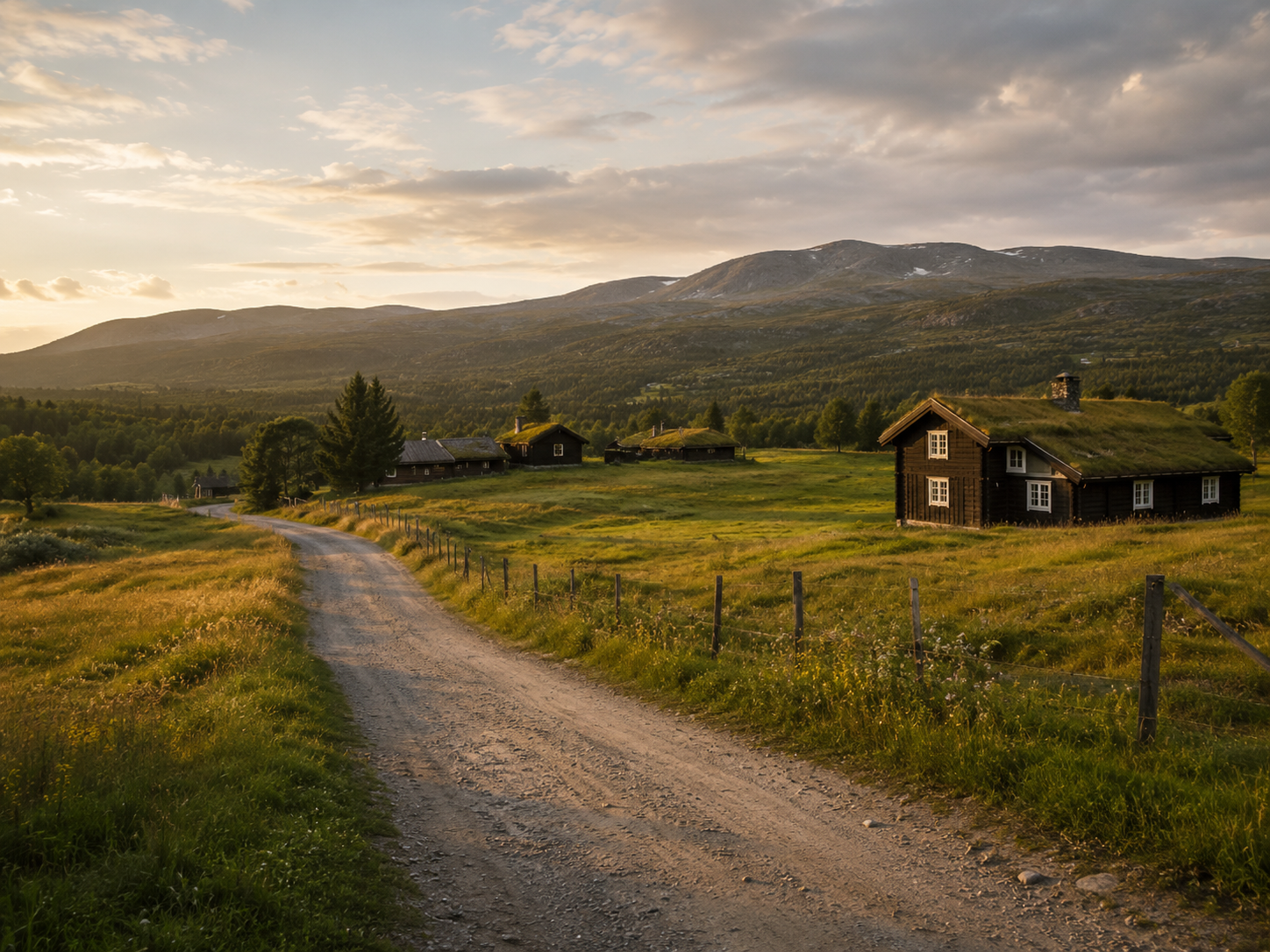
Norway's fjords may dominate the postcards, but travel inland and another Norway begins to appear. Here, old summer farms sit beneath open mountain plateaus, medieval stave churches stand in quiet valleys, and roads climb above the tree line towards Jotunheimen, where the highest mountains in Northern Europe rise between lakes and glaciers. Farther east, the landscape opens again into the quieter wilderness of Rondane.
This ten-day road trip takes you from Oslo through Mountain Norway, travelling through Valdres, across Jotunheimen and onwards to Rondane before returning south. It is not designed around seeing the greatest possible number of places. Instead, the route gives you time to experience three very different sides of Mountain Norway. In Valdres, the mountains are closely connected to farming, food and tradition. In Jotunheimen, they become bigger, steeper and more dramatic, while Rondane feels different again, with broad valleys, rounded peaks and some of Norway's most important wild reindeer habitat.
Along the way, you can cross Valdresflye, hike Besseggen, visit the mountain village of Lom, and, if conditions allow, stand on the summit of Galdhøpiggen at 2,469 metres. For travellers who want to see the Norway beyond the fjords, this is one of the most rewarding parts of the country to explore.
10 Days in Mountain Norway at a Glance
Duration: 10 days
Start and finish: Oslo
Transport: Car
Route: Oslo → Valdres → Beitostølen → Valdresflye → Gjende → Lom → Galdhøpiggen → Rondane → Oslo
Best time: July to early September
Perfect for: Mountains, hiking, Norwegian culture, scenic drives and slower road trips
The Route
| DAY | ROUTE | MAIN EXPERIENCE |
|---|---|---|
| Day 1 | Oslo → Valdres | Leaving the city for the mountains |
| Day 2 | Valdres | Summer farms, stave churches and mountain culture |
| Day 3 | Valdres → Valdresflye → Gjende | One of Norway's great mountain roads |
| Day 4 | Jotunheimen | Besseggen or a slower mountain day |
| Day 5 | Gjende → Lom → Western Jotunheimen | Mountain village and change of scenery |
| Day 6 | Galdhøpiggen | Norway's highest mountain |
| Day 7 | Jotunheimen → Rondane | A slower transition day |
| Day 8 | Rondane | Rondvassbu and the national park |
| Day 9 | Scenic Route Rondane | Sohlbergplassen and the eastern side of Rondane |
| Day 10 | Rondane → Oslo | One final morning in the mountains |
This road trip is best suited to July, August and early September, when Mountain Norway is at its most accessible. By then, the high mountain roads are normally open, the main hiking season is underway and the seasonal services you will need along the route are operating.
That does not mean you should expect warm summer weather everywhere. Much of this journey takes you high into the mountains, where temperatures can be considerably colder than in the valleys and conditions can change quickly. Snow can linger well into summer at higher elevations, particularly around Jotunheimen.
July offers the longest days and is the busiest month, while August is often a good balance between summer conditions and slightly fewer visitors. Early September can be beautiful as the first autumn colours begin to appear, but colder weather becomes more likely. If you want to follow this itinerary exactly as written, July and August are the safest choices.
Day 1: Oslo to Valdres
Leaving the City Behind
Day 1: Oslo to Valdres
Leaving Oslo for the Mountains
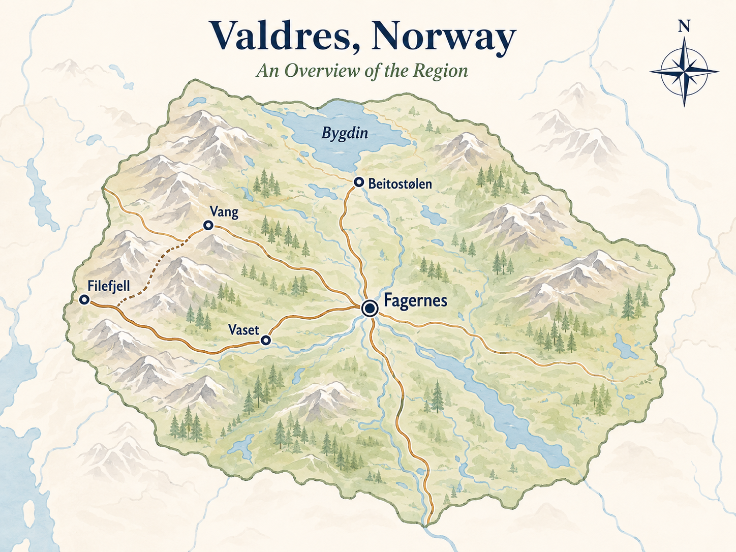
The first day of this road trip takes you from Oslo into Valdres, a mountain region roughly two and a half to three hours north-west of the capital. As you leave the city behind, suburbs gradually give way to farmland, forests and long stretches of water, before the landscape begins to rise towards the mountains that will shape the rest of the journey.
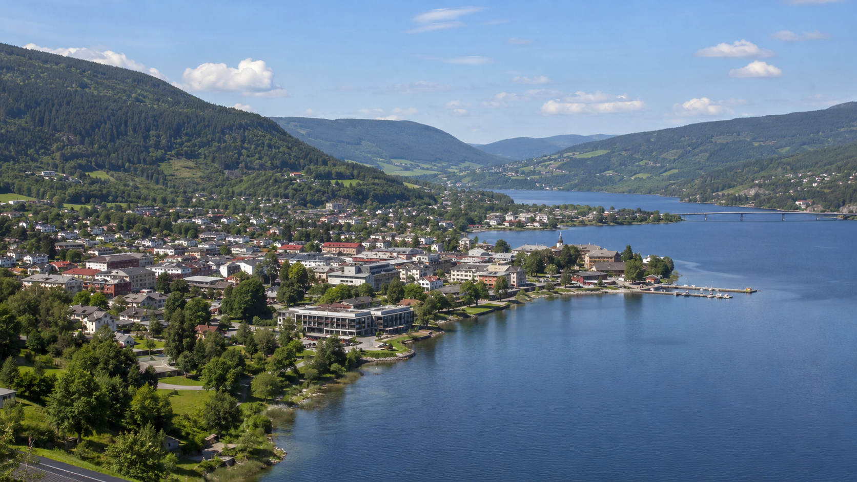
Make Fagernes your destination for the day. Sitting on the shore of Strandefjorden, Fagernes is the main town and regional centre of Valdres, making it a practical place to begin the trip. You will find supermarkets, cafés, restaurants and other services here, but you are already surrounded by the quieter landscape of inland Norway. It also puts you in a good position for exploring more of Valdres tomorrow before continuing towards the higher mountains.
If you arrive with time to spare, visit Valdres Folkemuseum, an open-air museum on the edge of Fagernes that provides a useful introduction to the history and culture of the region. Founded in 1901, it is one of Norway's largest open-air museums, with more than 100 historic buildings and collections relating to traditional life in Valdres. It is a particularly good first stop on this road trip because many of the themes you encounter here, including farming, folk traditions and the relationship between local communities and the mountains, will continue into tomorrow's journey through the region.
Alternatively, keep the afternoon simple and explore Fagernes itself. Walk along Strandefjorden, stop for coffee in the centre or simply settle into your accommodation before dinner. There is plenty of hiking ahead, so you do not need to turn your first afternoon into another full sightseeing day.
Spend the night in or around Fagernes. Tomorrow is devoted to Valdres itself, before the road begins climbing towards Beitostølen and Jotunheimen.
Day 2: Exploring Valdres
Mountain Farms, Medieval Churches and a Living Landscape
Before climbing into the high mountains, spend a full day exploring Valdres. This is one of the best places on the route to understand how closely life in inland Norway has traditionally been connected to the mountains. Farms and villages occupy the valleys, while summer pastures and old mountain farms extend into the higher landscape above them. Rather than treating Valdres simply as somewhere to drive through on the way to Jotunheimen, today is about experiencing the culture that developed here.
Valdres is particularly known for two traditions that are still highly visible in the landscape: its stølsliv, or summer farming culture, and its remarkable concentration of medieval stave churches. Six of Norway's 28 surviving stave churches are found in the region, while the surrounding mountains contain one of the country's strongest remaining summer-farm traditions. Together, they tell a much more interesting story of Valdres than a checklist of viewpoints ever could.
You do not need to spend the day racing between churches and attractions. Choose one stave church, visit a summer farm if one is open during your stay, and leave enough time to explore the valleys and mountain roads between them. If you are continuing north towards Beitostølen, Hegge Stave Church is particularly easy to incorporate without making a substantial detour, while other churches can be included if you want to explore farther west.
If you have more time to spend in the region, my complete guide to Valdres covers its villages, mountain areas, cultural sites and outdoor experiences in much greater detail.
Understanding the Norwegian Støl
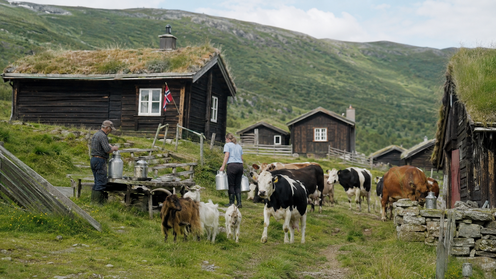
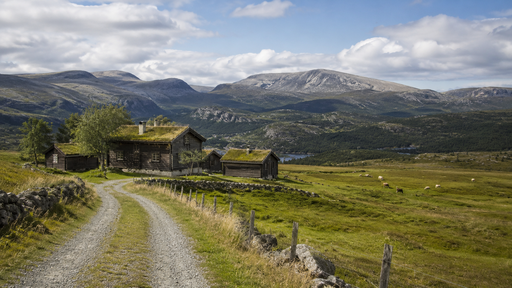
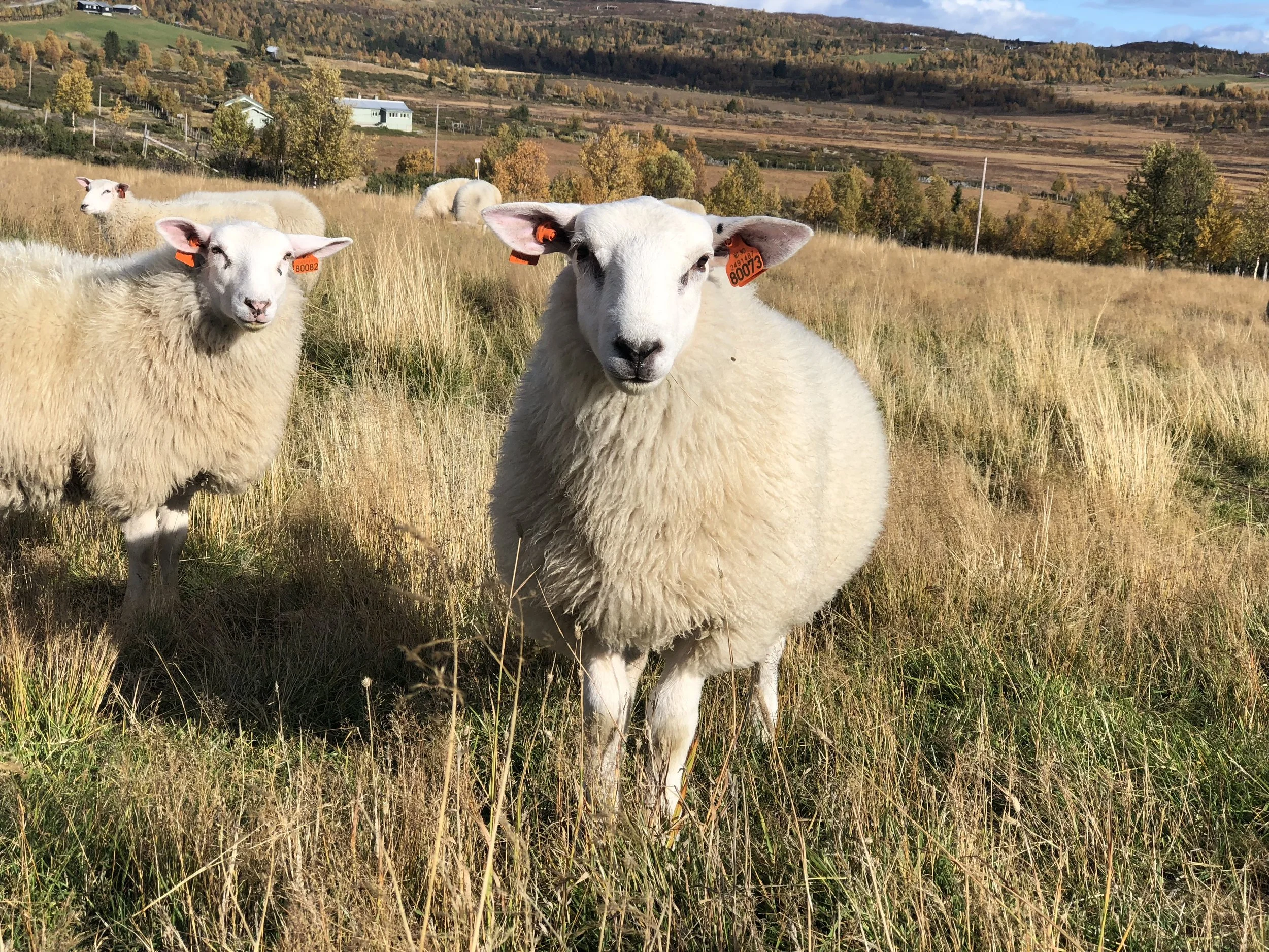
One of the most distinctive features of Valdres is its støl culture, a tradition that has shaped both the landscape and local way of life for centuries. A støl is a summer mountain farm, traditionally used when livestock were moved from the permanent farms in the valleys to higher grazing grounds during the warmer months. Women and children would often spend much of the summer there tending the animals, while milk was turned into products such as butter, cheese and rømme, or sour cream. Moving livestock between the valley farm and the summer pastures allowed farmers to make use of grazing land high in the mountains while preserving the lower fields for winter fodder.
Although this way of farming has declined across Norway, Valdres still has one of the country's strongest living summer-farm traditions. You will see old støl buildings scattered across the mountain landscape, and some farms continue to bring livestock to the summer pastures today. A number of working summer farms also welcome visitors during the season, giving you the chance to see the animals, learn more about traditional farming and, depending on the farm, buy or taste locally produced dairy products. Opening periods can be short and vary from year to year, so check what is operating when you visit rather than planning around a particular farm far in advance.
If you have the opportunity to visit one, I would make time for it. The experience is not about a dramatic tourist attraction, and that is precisely the point. The small farm buildings, grazing animals and traditional foods help explain why these mountains are not simply wilderness, but a landscape that people have lived with and depended upon for generations.
It also provides an important contrast with what comes next. Jotunheimen will show you the mountains as wilderness. Valdres shows you the mountains as home.
Visit a Stave Church
Spend part of the day visiting one of Valdres' medieval stave churches. The region is home to six of Norway's 28 surviving stave churches, an unusually high concentration that makes them an important part of the cultural landscape here. Built during the Middle Ages using sophisticated timber construction techniques, stave churches are among Norway's most distinctive historic buildings, and the examples in Valdres have remained closely connected to the rural communities around them for centuries.
You do not need to visit all six, or even several of them, to appreciate this part of the region's history. Hegge Stave Church is one of the easiest choices if you want a church that fits naturally with this road trip, as it lies in Øystre Slidre on the route north towards Beitostølen. The church dates from the early 13th century and, like many Norwegian stave churches, has been altered and expanded over the centuries while retaining important elements of its medieval timber structure.
If stave churches are a particular interest, you have several other options. Lomen Stave Church lies farther west in Vestre Slidre, while Høre and Øye Stave Churches are in Vang. Reinli and Hedalen lie farther south in Valdres. Visiting some of these requires a deliberate detour, so choose according to how much of the region you want to explore rather than trying to fit several churches into the same day.
Whichever church you choose, check the opening hours before travelling if you want to see the interior. Visitor access is seasonal, and some of these buildings are still functioning churches rather than attractions that remain open throughout the day. Even if you have visited one of Norway's more famous stave churches elsewhere, seeing one in Valdres feels different because the churches remain part of the valleys, farms and communities that have surrounded them for generations.
Afterwards, leave some room in the afternoon to experience Valdres without another fixed attraction. Drive one of the smaller roads through the valley, stop beside a lake, find somewhere for coffee or take a short walk. Mountain Norway works much better when every hour has not been planned in advance.
Spend a second night in Valdres. Tomorrow, the journey continues north towards Beitostølen before climbing onto Valdresflye and into Jotunheimen.
Day 3: Valdres to Jotunheimen via Valdresflye
Across Valdresflye
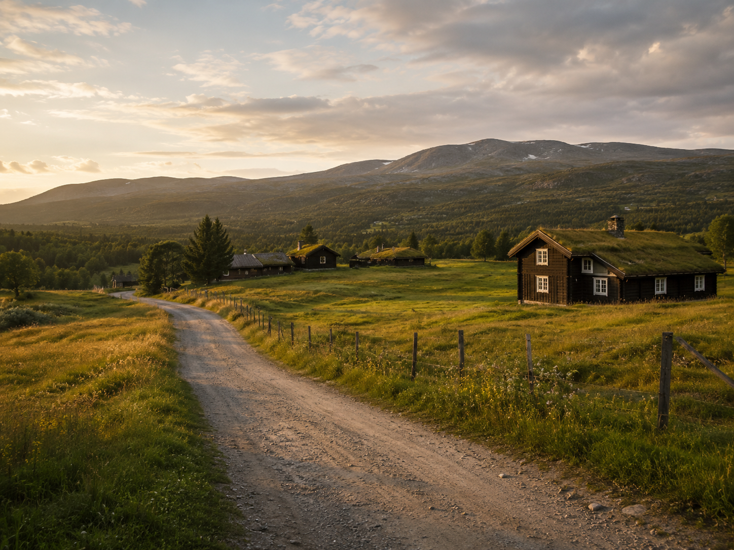
Today the landscape changes dramatically as you travel north through Valdres towards Beitostølen and continue onto Norwegian Scenic Route Valdresflye. The official scenic route runs for 49 kilometres between Garli and Hindsæter, with a detour towards Gjende, and reaches 1,389 metres above sea level at its highest point. Much of the road crosses an exposed mountain plateau above the tree line, making this one of the places on the journey where the drive itself is as important as the destination.
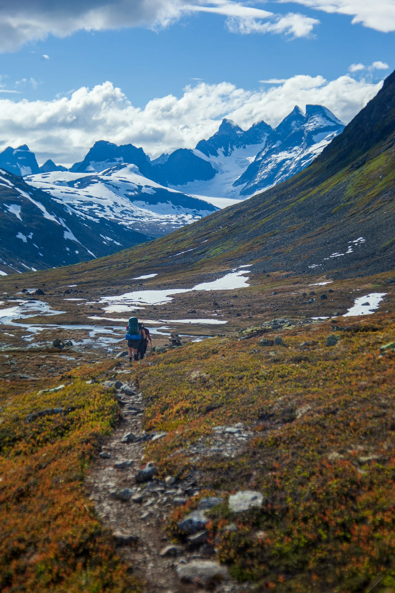
The transformation begins soon after leaving Beitostølen. Birch woodland becomes increasingly sparse before almost disappearing, replaced by low alpine vegetation, lakes and wide stretches of open mountain terrain. To the west, the peaks of Jotunheimen rise above the plateau, including several of Norway's highest mountains. In clear weather, the openness of Valdresflye gives you an unusually broad view of the mountain landscape before you actually enter Jotunheimen.
Allow plenty of time for the drive rather than treating the 49 kilometres as a short transfer. There are several places to stop along the route, including the Valdresflye viewpoint at Flye 1389, close to the road's highest point. The viewpoint and café building sit directly in the high mountain landscape, making it a natural place to stop, stretch your legs and take in the scale of the plateau. Smaller roadside stops are just as worthwhile when conditions are good, particularly where the road opens towards lakes and the Jotunheimen mountains.
Valdresflye is also a good reminder of how quickly conditions can change in Mountain Norway. At nearly 1,400 metres, temperatures can be considerably lower than they were in the valleys earlier in the day, and wind, cloud and rain can arrive quickly even in summer. Keep a warm layer and waterproof jacket accessible in the car rather than packed underneath everything else, especially if you plan to spend time outside at the viewpoints.
Stop in Beitostølen
Before continuing onto Valdresflye, stop in Beitostølen, a small mountain resort sitting around 900 metres above sea level at the northern end of Valdres. It is best known as a skiing destination in winter, but in summer it becomes a useful base for hiking and outdoor activities in the surrounding mountains. Its location between the inhabited valleys of Valdres and the high plateau ahead also makes it a natural stopping point on this road trip.
You do not need several hours here, but it is a good place to have lunch or coffee and pick up anything you may need before continuing into the mountains. There are supermarkets, cafés, restaurants and outdoor shops in the village, and services become considerably more limited once you continue across Valdresflye. If you need food for later, an extra layer or anything for the car, this is the sensible place to sort it.
If you have more time, take a short walk around the village or simply enjoy the views towards the surrounding mountains before getting back on the road. Beitostølen is less about a single must-see attraction and more about its setting: this is where the cultivated valleys of Valdres begin to give way to the open mountain landscape above the tree line.
Enter Jotunheimen
Towards the northern end of Valdresflye, turn towards Gjende and Gjendesheim, where the road descends from the open plateau towards one of the most recognisable landscapes in Jotunheimen. The long, narrow lake Gjende stretches west between steep mountains, its distinctive blue-green colour created by fine glacial particles carried into the water by rivers from the surrounding mountains.
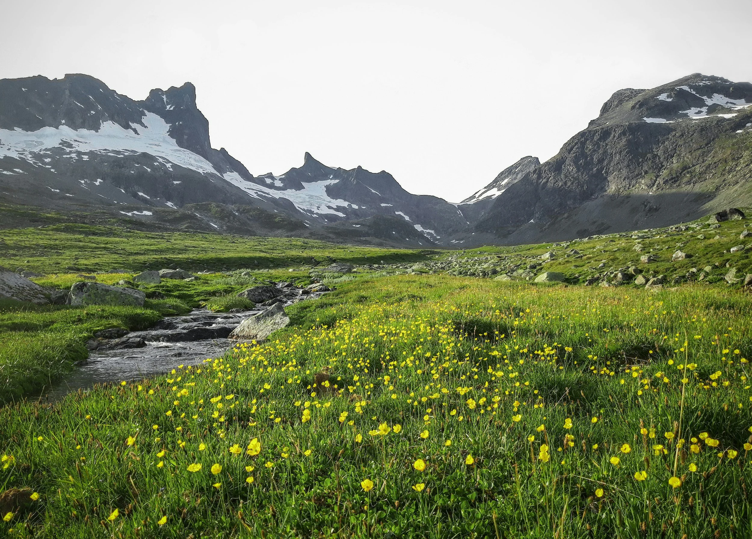
This is your first proper introduction to Jotunheimen National Park, a landscape of high peaks, deep valleys, glaciers and mountain lakes. Jotunheimen contains the greatest concentration of mountains above 2,000 metres in Northern Europe, including Norway's two highest peaks, Galdhøpiggen and Glittertind. Its name means “Home of the Giants”, a wonderfully appropriate description for a part of Norway where the scale of the landscape changes noticeably from the gentler valleys you have travelled through in Valdres.
Base yourself near the eastern entrance to the national park for the night. Gjendesheim sits at the eastern end of Gjende and is one of the best-known DNT mountain lodges in Norway, while Bessheim lies a short drive away and offers another convenient option. Both put you close to the lake and surrounding hiking country, so there is little reason to add a long drive at the end of the day.
If you arrive with time and energy left, spend it around Gjende rather than trying to fit in another major attraction. Walk along the lakeshore, explore the area around Gjendesheim or simply settle into the mountain lodge and enjoy being in Jotunheimen. After the cultural landscapes and summer farms of Valdres, the transition to high mountains, glacial water and largely treeless terrain is one of the most noticeable changes of the entire road trip.
If you want to explore the area beyond this itinerary, my complete guide to Jotunheimen covers the national park, where to stay and more of the experiences available throughout the region.
Day 4: Hiking Besseggen in Jotunheimen
Hike Besseggen, or Experience the Mountains More Slowly
If hiking Besseggen is on your Norway list, dedicate most of today to it. The classic route between Memurubu and Gjendesheim is around 14 kilometres and normally takes six to eight hours, with roughly 1,000 metres of ascent along the way. It is a demanding mountain hike rather than a casual ridge walk, with long climbs, uneven terrain and a steep section where you will need to use your hands to scramble up the rocks.
Most hikers begin by taking the Gjende boat from Gjendesheim to Memurubu and then walking back towards Gjendesheim. This direction means the steepest part of Besseggen is climbed rather than descended, which many hikers find more comfortable. It also has the practical advantage of finishing directly where you are staying rather than having to catch a boat at the end of a long mountain day. Book the morning boat in advance, particularly during the busy summer months, and arrive with enough time to board without rushing.
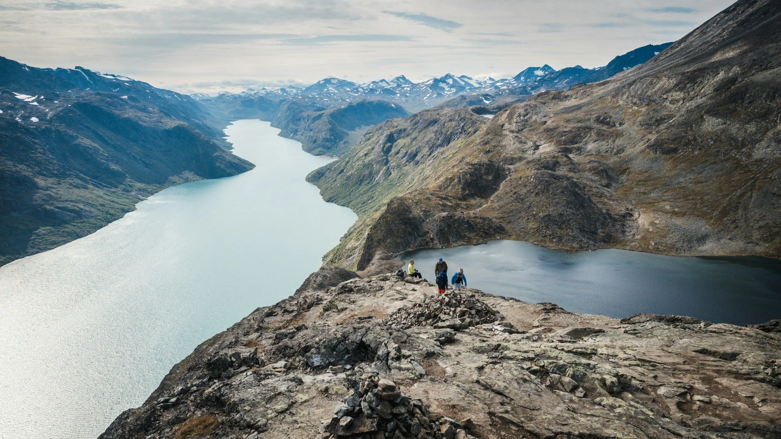
The landscape becomes increasingly dramatic as you climb above Gjende. The most famous section is the narrow ridge itself, where you can look down towards Gjende on one side and Bessvatnet on the other. The contrast between the lakes is striking: Gjende often appears an intense blue-green because of fine glacial sediment suspended in the water, while the higher Bessvatnet is much darker and clearer. From the ridge, the two lakes appear almost side by side despite sitting at very different elevations, creating the view that has made Besseggen one of Norway's most photographed mountain hikes.
The ridge is exposed in places and can feel intimidating if you are uncomfortable with heights. Although it does not require climbing equipment in normal summer conditions, there is a steep scrambling section where you need both hands, and wet rock can make the route considerably more difficult. Check the mountain forecast before leaving and be prepared to choose another plan if conditions are poor. Proper hiking footwear, warm and waterproof layers, food and enough water for a full day in the mountains are essential.
Once you return to Gjendesheim, keep the rest of the day simple. After six to eight hours on the mountain, dinner and a relaxed evening at your lodge are more than enough. Spend another night around Gjende rather than adding more driving to what is already one of the most physically demanding days of the road trip.
If You Don't Want to Hike Besseggen
You do not need to hike Besseggen to have a memorable day in Jotunheimen. If you prefer something less demanding, or the weather makes the ridge a poor choice, there are several ways to experience the landscape around Gjende without committing to a full-day mountain hike.
One of the easiest options is to take the Gjende boat without hiking Besseggen. The boat travels along the long, narrow lake between steep mountain slopes, giving you a completely different perspective on the landscape from the water. You can travel to Memurubu, spend some time there and return by boat, or combine the journey with a shorter walk. Check the timetable in advance, as departures are seasonal and can be busy during the main summer months.
There are also shorter walks around Gjendesheim and the eastern end of Gjende that allow you to get into the mountain landscape without the exposure and physical demands of Besseggen. Another option is simply to spend more time around the lake, have lunch at a mountain lodge and enjoy a slower day after the drive across Valdresflye. Jotunheimen is not a place where reaching a famous summit or completing a particular trail is necessary to justify being here.
Keeping an alternative plan is particularly sensible in the Norwegian mountains, where conditions can change quickly. Besseggen is exposed and considerably less enjoyable in strong wind, heavy rain or poor visibility, so changing your plans because of the weather should be seen as good mountain judgement rather than a missed opportunity.
Spend another night around Gjende, regardless of which option you choose. This keeps the itinerary exactly the same and means you do not need to rearrange the rest of the road trip if Besseggen is not right for you.
Day 5: Jotunheimen to Lom
From the Home of the Giants to a Norwegian Mountain Village
Today takes you from the eastern side of Jotunheimen to Lom, one of Norway's best-known mountain villages and an important gateway to the western side of the national park. After yesterday's full day in the mountains, this is deliberately a less physically demanding part of the itinerary, but it is much more than a transfer between hiking areas.
Leave the Gjende area and travel west towards Lom, passing through the valleys and mountain landscapes that surround northern Jotunheimen. The scenery changes noticeably along the way. The high, exposed landscape around Gjende gradually gives way to greener valleys, traditional farms and small settlements, while some of Norway's highest mountains remain close by.
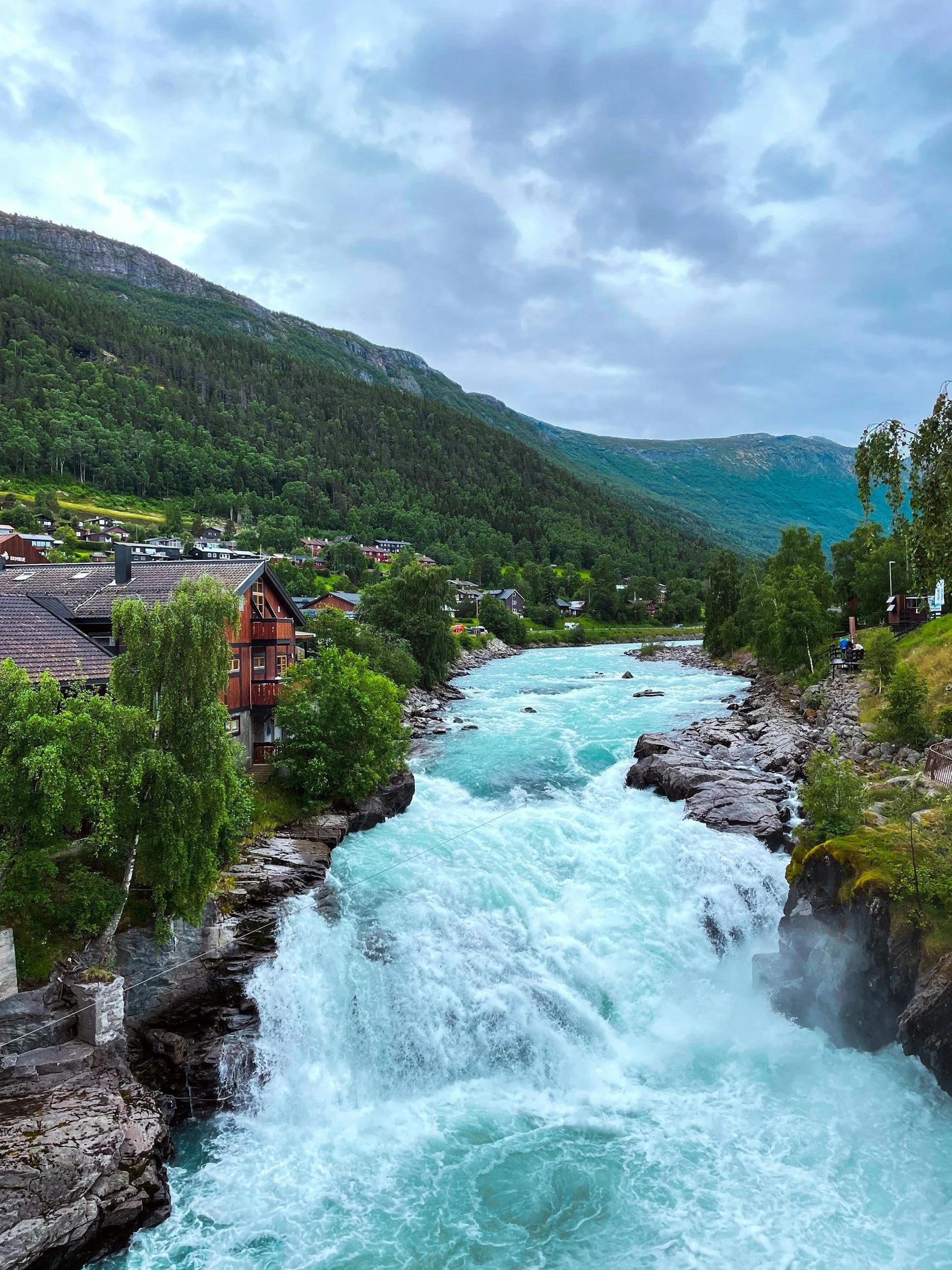
Lom sits where several historic routes through the Norwegian mountains meet, and its location has made the village an important stopping point for travellers for centuries. Today it remains one of the main gateways to Jotunheimen, but it has retained far more character than you might expect from a practical mountain base. Traditional timber buildings, the river running through the centre and the surrounding mountains make it worth spending several hours here rather than simply driving through.
After several days dominated by mountain roads and hiking trails, Lom also gives you a chance to experience another side of the region. You can visit its medieval stave church, explore the compact village centre, stop for a proper lunch and learn more about the mountain landscape surrounding you. Give yourself enough time to enjoy the village without turning the day into another packed sightseeing schedule.
Lom Stave Church
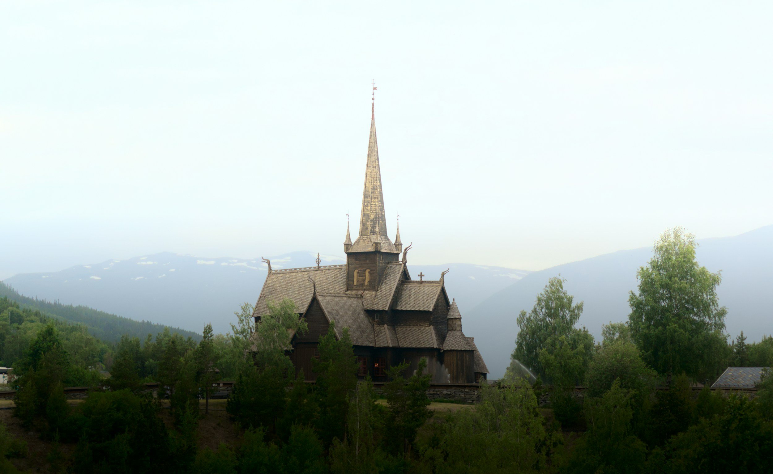
At the centre of the village stands Lom Stave Church, one of the largest and best-preserved stave churches in Norway. The oldest parts of the church date from the second half of the 12th century, although it has been expanded and altered several times during its long history. Its dark timber exterior and steep roofs are particularly striking against the mountains surrounding Lom, but the church is much more than a picturesque historic building.
Like the stave churches you encountered in Valdres, Lom was constructed around a framework of large vertical timber posts, or staves. The church was originally much smaller than it appears today and was extended into its present cruciform shape during the 17th century as the local population grew. Inside, you can see decorative painting and furnishings from different periods of its history, making the building a record of centuries of changing religious life rather than a church preserved exactly as it appeared in the Middle Ages.
Archaeological excavations beneath the church have also revealed traces of an earlier church on the site, as well as numerous burials and other finds from the medieval period. Look up at the roof when you are outside too: several carved dragon heads project from the roof ridges, one of the details that makes Lom particularly recognisable among Norway's surviving stave churches.
Lom Stave Church is still an active parish church, so access can be affected by services, weddings, funerals and other events. During the visitor season you can normally see the interior for an admission fee, but check current opening hours before your visit if going inside is important to you. Allow some time afterwards to walk around the churchyard and the historic centre of Lom rather than viewing the church only from the roadside.
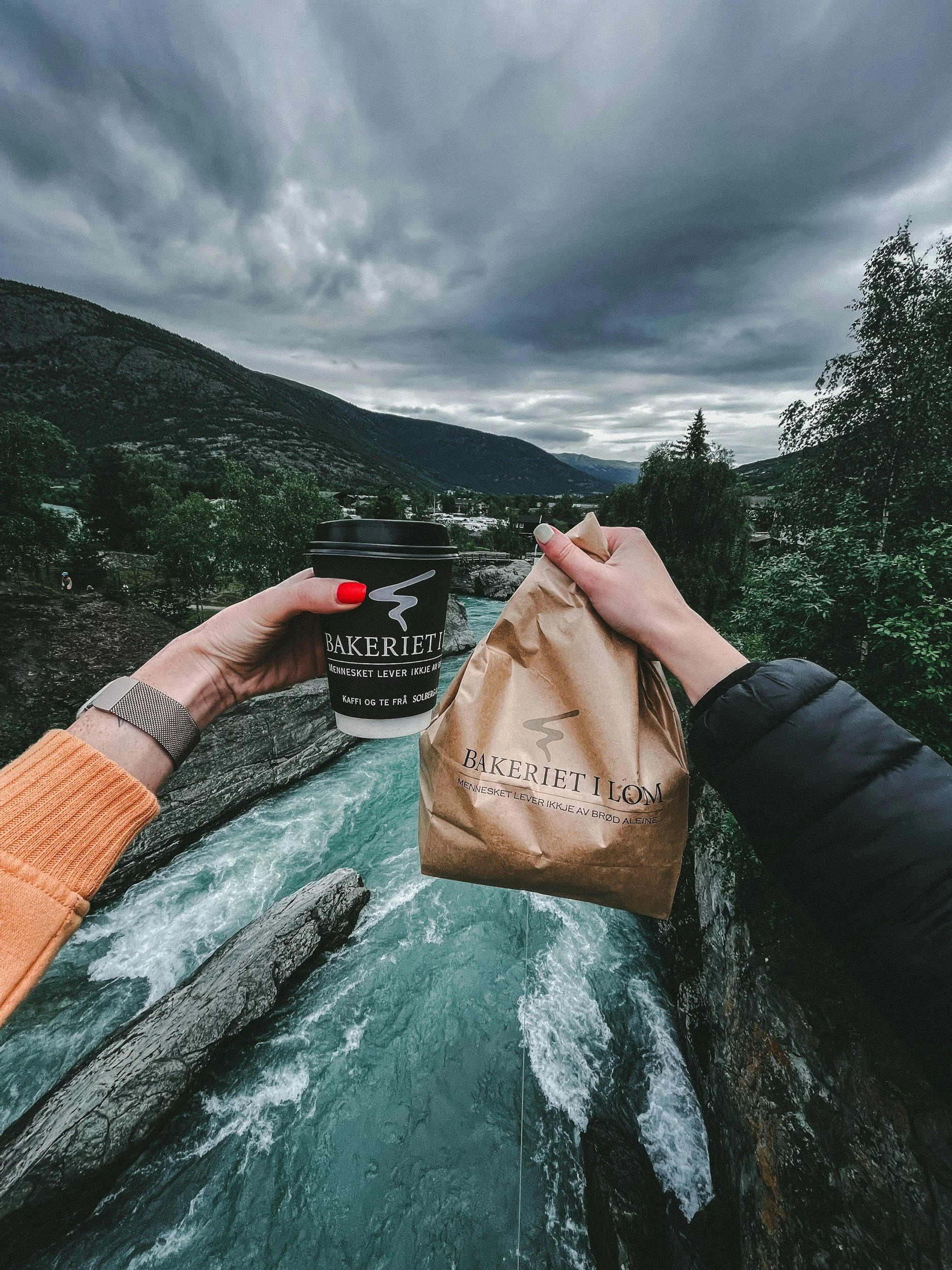
Stop at Bakeriet i Lom
While you are in the village, stop at Bakeriet i Lom, an artisan bakery that has become something of an institution in this part of Norway. The bakery was established in 2004 by Norwegian chef Morten Schakenda, who left restaurant kitchens behind to start baking in the small mountain village. It helped put Lom on Norway's culinary map and is particularly known for its breads, pastries and enormously popular cinnamon buns.
The bakery uses traditional baking methods and produces its breads with long fermentation times, while much of the focus is on simple ingredients and craftsmanship rather than elaborate creations. In summer, it can be extremely popular, so do not be surprised to find a queue outside. Fortunately, this is one of those places where waiting for a cinnamon bun is considerably less demanding than waiting your turn on a mountain ridge.
Have lunch here or pick up bread and pastries to take with you for later in the journey. There are places to sit around the centre of Lom and beside the river, so there is no need to rush back to the car as soon as you have eaten. After several days of mountain roads and hiking, an hour spent over coffee and something freshly baked is a perfectly legitimate part of a Norwegian road trip.
Move Towards Galdhøpiggen
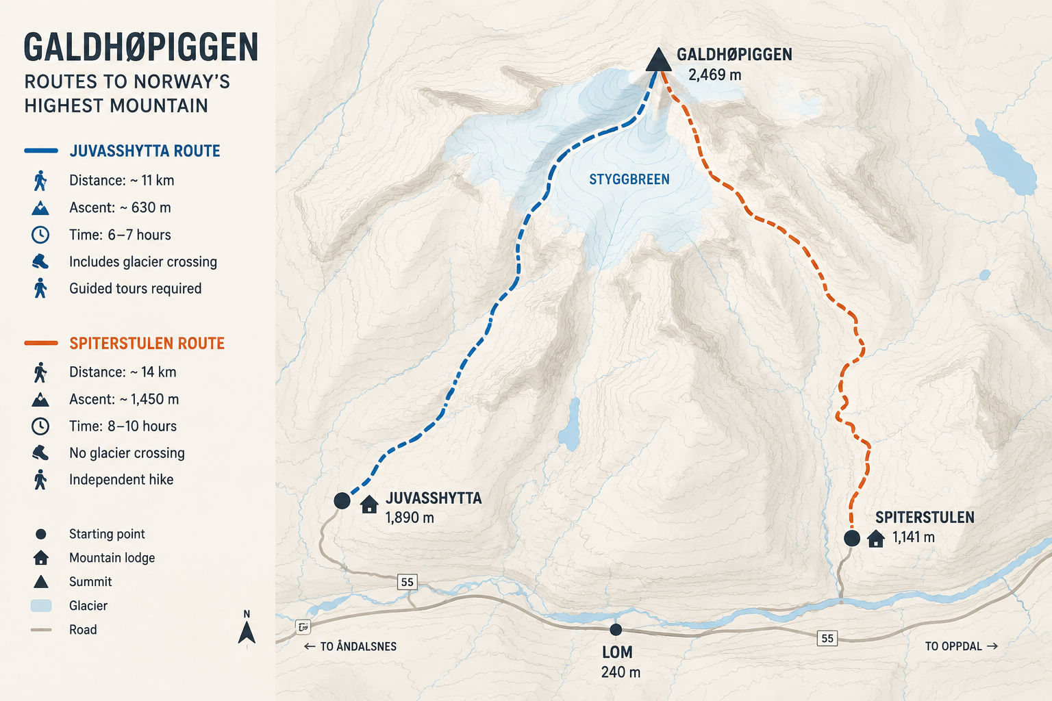
After spending a few hours in Lom, continue into the western side of Jotunheimen and towards Galdhøpiggen, Norway's highest mountain at 2,469 metres. There are two main starting points for reaching the summit, Juvasshytta and Spiterstulen, and where you stay tonight should depend on which route you intend to take.
Juvasshytta is the starting point for the shorter and most popular route. It sits high above the valley at around 1,840 metres and is reached from the Lom side via the private Galdhøpiggvegen toll road. The summit trip from here involves crossing the Styggebreen glacier in a roped group with a guide, so this is something you need to arrange in advance rather than deciding spontaneously the following morning.
The alternative is Spiterstulen, a mountain lodge in Visdalen at around 1,100 metres. The normal route from here does not require a glacier crossing and can therefore be walked independently in suitable conditions, but you start much lower and have considerably more climbing ahead of you. It is the longer and more physically demanding of the two classic approaches.
Choose between the two routes before booking your accommodation and base yourself as close as practical to your chosen starting point. Staying at Juvasshytta or Spiterstulen itself makes an early start particularly easy, but there are also accommodation options around Lom if you prefer to remain in the village. Whichever option you choose, check the mountain forecast, organise what you need for the hike and have an early night before one of the most demanding days of the road trip.
Day 6: Climbing Galdhøpiggen
Stand on the Roof of Norway
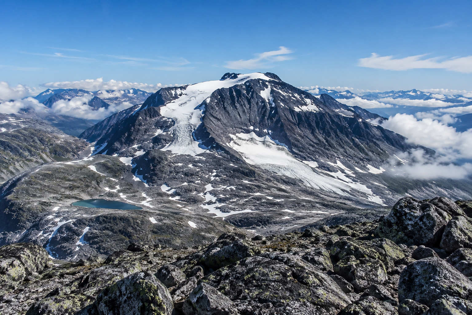
At 2,469 metres above sea level, Galdhøpiggen is the highest mountain in Norway and Northern Europe. Rising above the surrounding peaks and glaciers of Jotunheimen, it is one of Norway's most iconic summits and, for many hikers, one of the highlights of travelling through this part of the country.
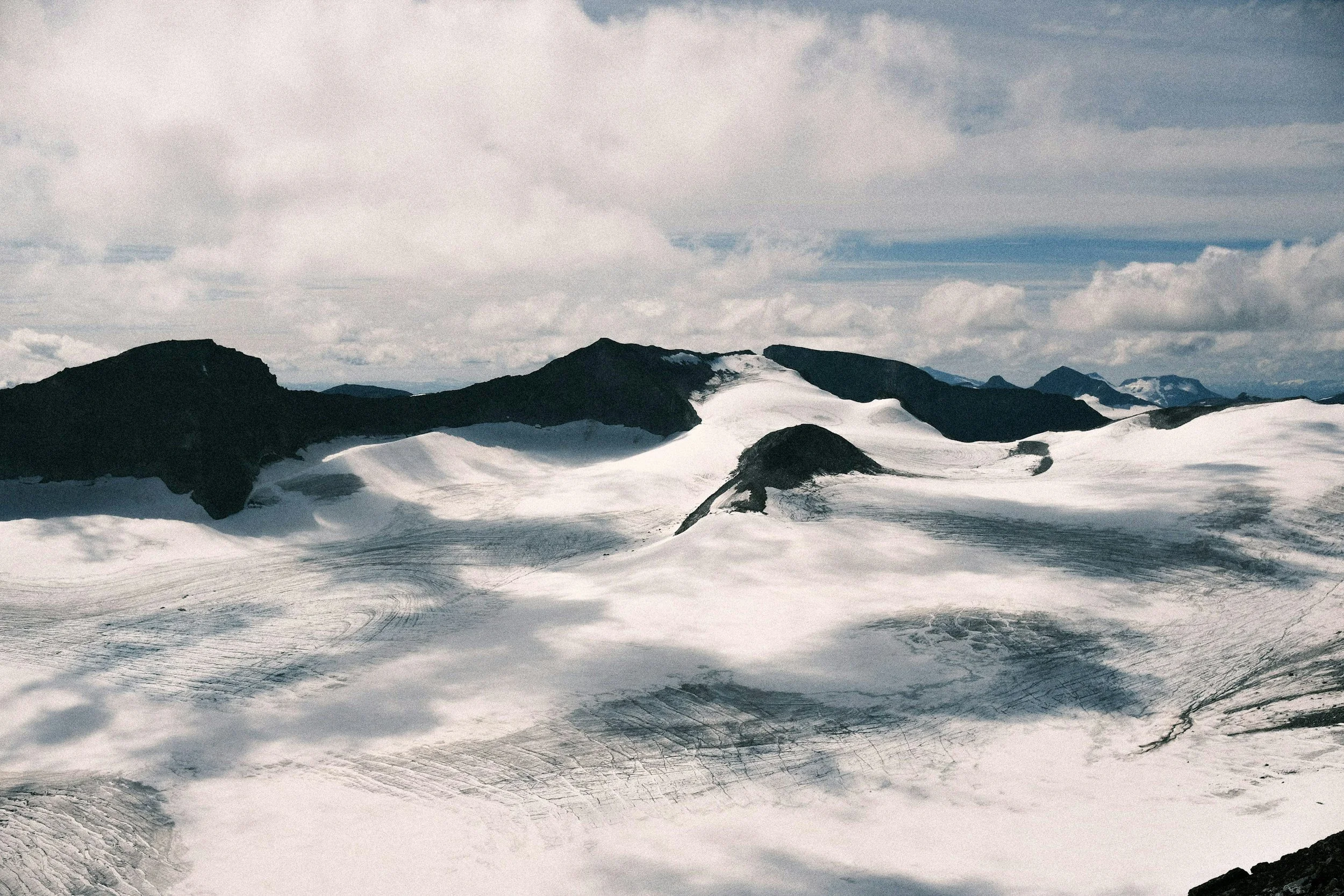
Despite its height, reaching Galdhøpiggen does not require technical mountaineering skills on the normal summer routes. It is still a serious mountain day. Snow can remain throughout summer, temperatures can fall quickly and conditions at the summit can be very different from those in the valleys below. Check the mountain forecast before setting out, carry proper layers and be prepared to turn around if conditions deteriorate.
If climbing Galdhøpiggen is one of the main reasons for your trip, my complete guide to Galdhøpiggen goes into much more detail about the routes, difficulty, equipment and what to expect on the mountain.
Option 1: Galdhøpiggen from Juvasshytta
The shorter of the two classic routes begins at Juvasshytta, which sits at around 1,840 metres above sea level. Starting this high means much of the elevation has already been gained before you begin walking, and the return trip to the summit normally takes around five to seven hours. The route is approximately 12 kilometres in total with around 650 metres of ascent, making it considerably shorter and less strenuous than the alternative from Spiterstulen.
What makes this route unusual is the crossing of Styggebreen, the glacier separating Juvasshytta from the final ascent towards Galdhøpiggen. Hidden crevasses mean the glacier should not be crossed independently, so hikers join an organised group and cross roped together under the supervision of a guide. No previous glacier experience is required for the standard guided trip, but you should still be comfortable walking for several hours over uneven mountain terrain and snow.
After crossing the glacier, the route climbs more steeply over rocky terrain towards the summit. On a clear day, the views expand across Jotunheimen as you gain height, with mountains and glaciers extending in almost every direction. The summit itself has a small stone cabin, a reminder of just how popular Galdhøpiggen has been with Norwegian mountain walkers for generations.
Guided departures from Juvasshytta operate during the summer season and should be booked in advance, particularly during July and August. For 2026, the scheduled season runs from 30 May to 13 September, but dates vary between years and departures can be affected by conditions, so always check directly with Juvasshytta when planning your trip.
Driving to Juvasshytta
Juvasshytta is reached via Galdhøpiggvegen, a private toll road that climbs approximately 1,300 vertical metres from the valley to the lodge. At its highest point, the road reaches around 1,840 metres, making it the highest public road in Norway and an impressive mountain drive in its own right.
The road is paved and can normally be driven in an ordinary passenger car, so a 4x4 is not necessary. It is, however, steep and exposed in places, and weather conditions at the top can be very different from those around Lom. Check that the road is open before setting out, allow plenty of time for the drive and use a low gear when descending rather than relying continuously on the brakes.
If you are joining a guided Galdhøpiggen departure, leave enough time to drive up, park and get ready before your scheduled meeting time. This is not a road where you want to be rushing because you left Lom ten minutes too late.
Option 2: Galdhøpiggen from Spiterstulen
The route from Spiterstulen offers a very different way to climb Galdhøpiggen. Starting at around 1,100 metres above sea level in Visdalen, you begin much lower than at Juvasshytta and climb almost the full height of the mountain on foot. The route is around six kilometres each way and involves close to 1,500 metres of ascent, making this the longer and considerably more physically demanding option.
Unlike the route from Juvasshytta, the normal trail from Spiterstulen does not cross a glacier. Experienced hikers with the right equipment can therefore complete it independently in suitable summer conditions without joining a guided group. The trail climbs steadily from the valley before becoming increasingly rocky as you gain elevation, eventually passing over the summits of Svellnose and Keilhaus topp on the way to Galdhøpiggen.
Allow a full day for the hike. Spiterstulen recommends approximately four to six hours for the ascent, and the complete return trip can easily take eight to twelve hours depending on your fitness, the conditions and how much time you spend along the way. Almost 1,500 metres of continuous ascent is substantial, so this route is best suited to hikers who are comfortable with long days and significant elevation gain.
The advantage is that you experience far more of the mountain on foot. Rather than beginning high above the valley, you watch the landscape change as you climb from Visdalen into increasingly barren alpine terrain. If you prefer a long, independent mountain hike and want to avoid the guided glacier crossing, Spiterstulen is likely to be the better choice. If your priority is reaching the summit by the shorter route or experiencing a glacier crossing, Juvasshytta makes more sense.
Whichever route you choose, treat Galdhøpiggen as a serious mountain day. Weather can change rapidly, snow can remain at higher elevations throughout summer and conditions near the summit may bear little resemblance to those at your starting point. Check the forecast before leaving, carry warm and waterproof clothing, and be prepared to turn around if the conditions deteriorate.
At the Summit
Reaching 2,469 metres puts you on the highest point not only in Norway, but in all of Northern Europe. On a clear day, the summit opens onto an extraordinary panorama of Jotunheimen, with mountains, valleys and glaciers extending across the horizon. Many of Norway's highest peaks are concentrated in this part of the national park, so the scale of the landscape is particularly apparent from here.
At the top stands a small stone summit hut, the latest in a series of shelters that have stood on Galdhøpiggen since the 19th century. When it is open during the summer season, you can step inside for shelter and refreshments before beginning the descent. Even in good weather, temperatures at the summit can be cold, so this is not somewhere to arrive without an extra layer in your backpack.
The summit is a natural high point of this road trip, but give yourself time to enjoy it rather than treating 2,469 metres as another number to tick off a list. You have climbed into a landscape dominated by some of Norway's highest mountains and largest glaciers, and on a clear day the view makes the scale of Jotunheimen much easier to understand.
Return to your accommodation in western Jotunheimen after the descent and stay for a second night. After either route, particularly the much longer hike from Spiterstulen, there is no reason to add a substantial drive to the end of the day.
Day 7: Jotunheimen to Rondane
A Day to Slow Down
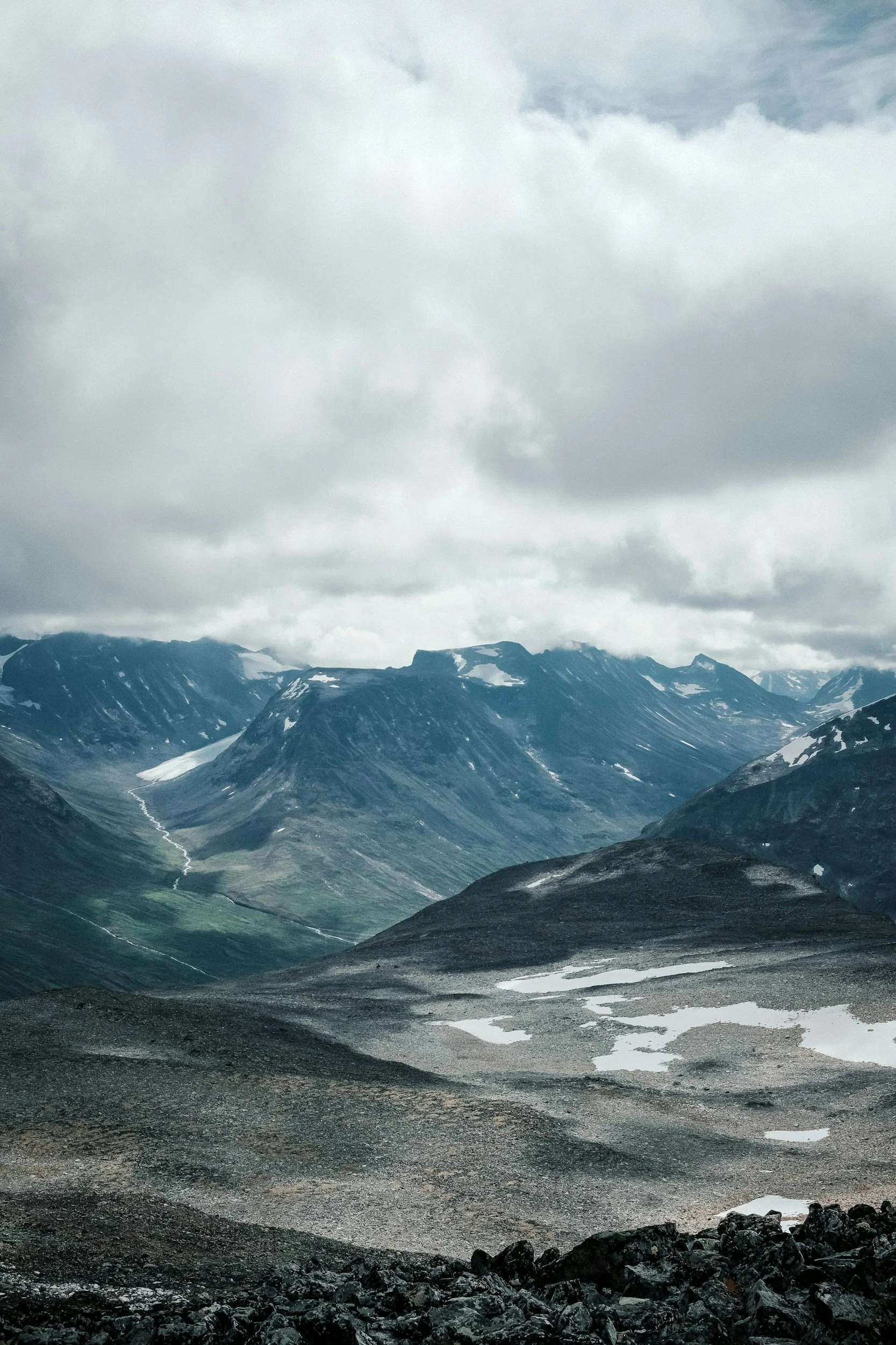
After two substantial mountain days, today is deliberately easier. Have a slow breakfast and give yourself some time to recover before leaving western Jotunheimen and beginning the journey east towards Rondane. One of the advantages of spending ten days on this route is that you do not have to move directly from one major hike to the next, and this is a good day to enjoy the journey without a demanding activity waiting at the other end.
The drive takes you back through Lom and towards Otta, following the valleys east as the high mountains of Jotunheimen gradually recede behind you. Allow roughly three hours of driving from the Lom area to Mysusæter, depending on where you stayed the previous night and how often you stop. There is no need to leave particularly early, so take your time along the way and stop for lunch when it suits you.
From Otta, the road climbs out of Gudbrandsdalen towards Mysusæter, a small mountain settlement on the western side of Rondane National Park. It is one of the main gateways into this part of the park and makes a convenient base for the next two nights, with easy access to the road towards Spranget and the walking and cycling routes beyond it.
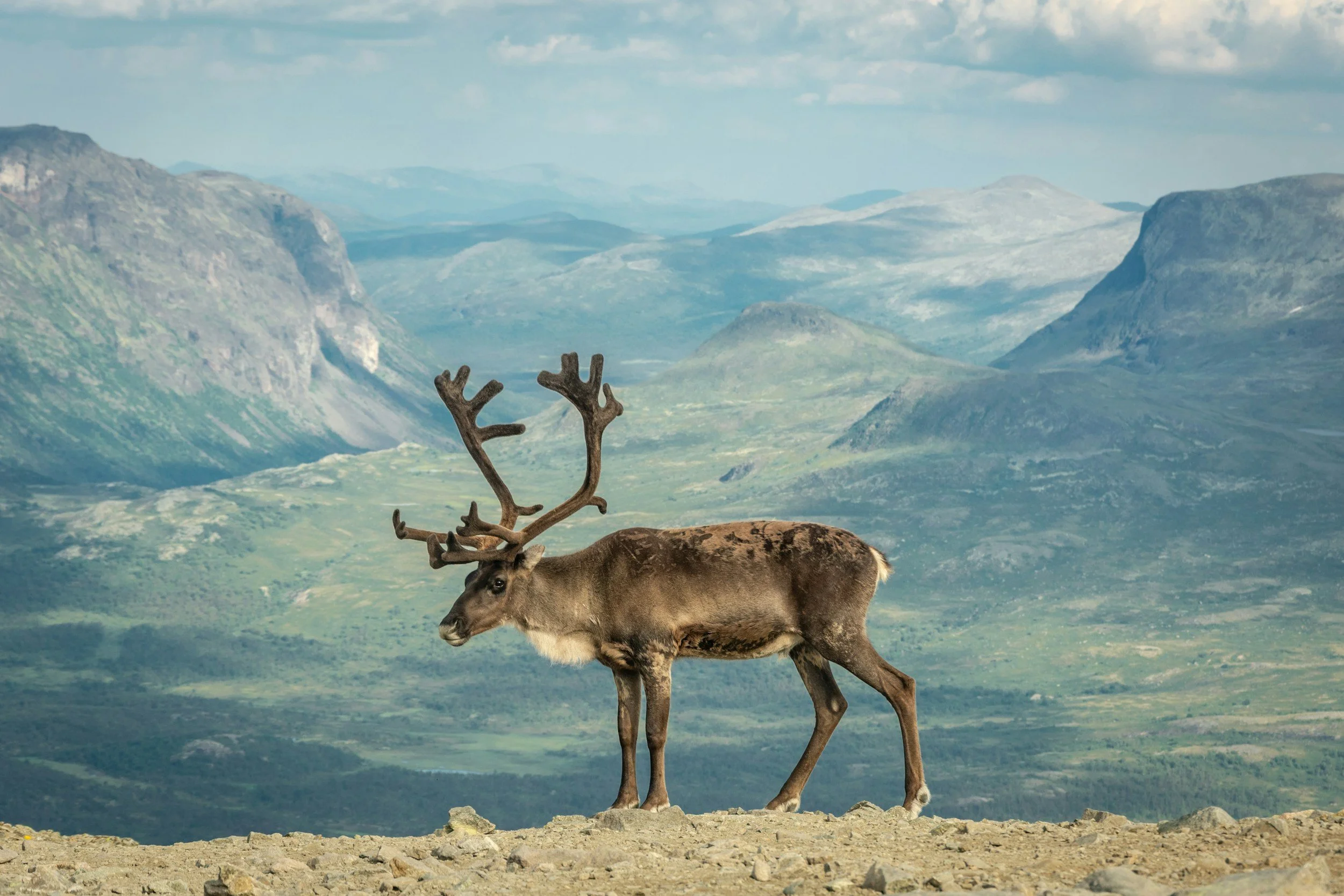
The change from Jotunheimen to Rondane is more noticeable than you might expect. Jotunheimen is dominated by steep peaks, glaciers and dramatic changes in elevation, while Rondane has a drier and more open character. Rounded mountains rise above broad valleys, and large areas of the ground are covered in pale reindeer lichen, giving parts of the landscape an almost silver-grey appearance. Rondane is also important habitat for wild reindeer, one of the last remaining populations of the species in Europe, adding another dimension to a landscape that can initially appear remarkably empty.
Spend the night in or around Mysusæter and keep the evening relaxed. A short walk through the surrounding mountain landscape is more than enough after the previous days in Jotunheimen.
Day 8: Exploring Rondane National Park
Into Norway's First National Park
Spend today exploring Rondane National Park, established in 1962 as Norway's first national park. The landscape is characterised by broad valleys, dry mountain terrain and ten peaks above 2,000 metres, but it is also one of Norway's most important areas for wild reindeer. These animals are particularly sensitive to disturbance, so keep your distance if you are fortunate enough to see them and never follow or approach a herd for photographs.
From Mysusæter, drive towards Spranget, where the road ends and cars are left behind. From here, it is around six kilometres along a gravel road to Rondvassbu, one of the main mountain lodges in Rondane. You can walk the route in roughly an hour and a half each way or rent a bicycle during the summer season, making this an accessible way to travel into the national park without committing to another demanding mountain hike.
The journey itself is part of the experience. As you move farther from Spranget, the landscape opens towards the Rondane massif, with increasingly little between you and the mountains. Eventually you reach Rondvassbu beside Rondvatnet, a long, narrow mountain lake surrounded by some of the highest peaks in the national park. After the sharper, more dramatic landscapes of Jotunheimen, Rondane feels noticeably more spacious and subdued.
Spend Time at Rondvassbu
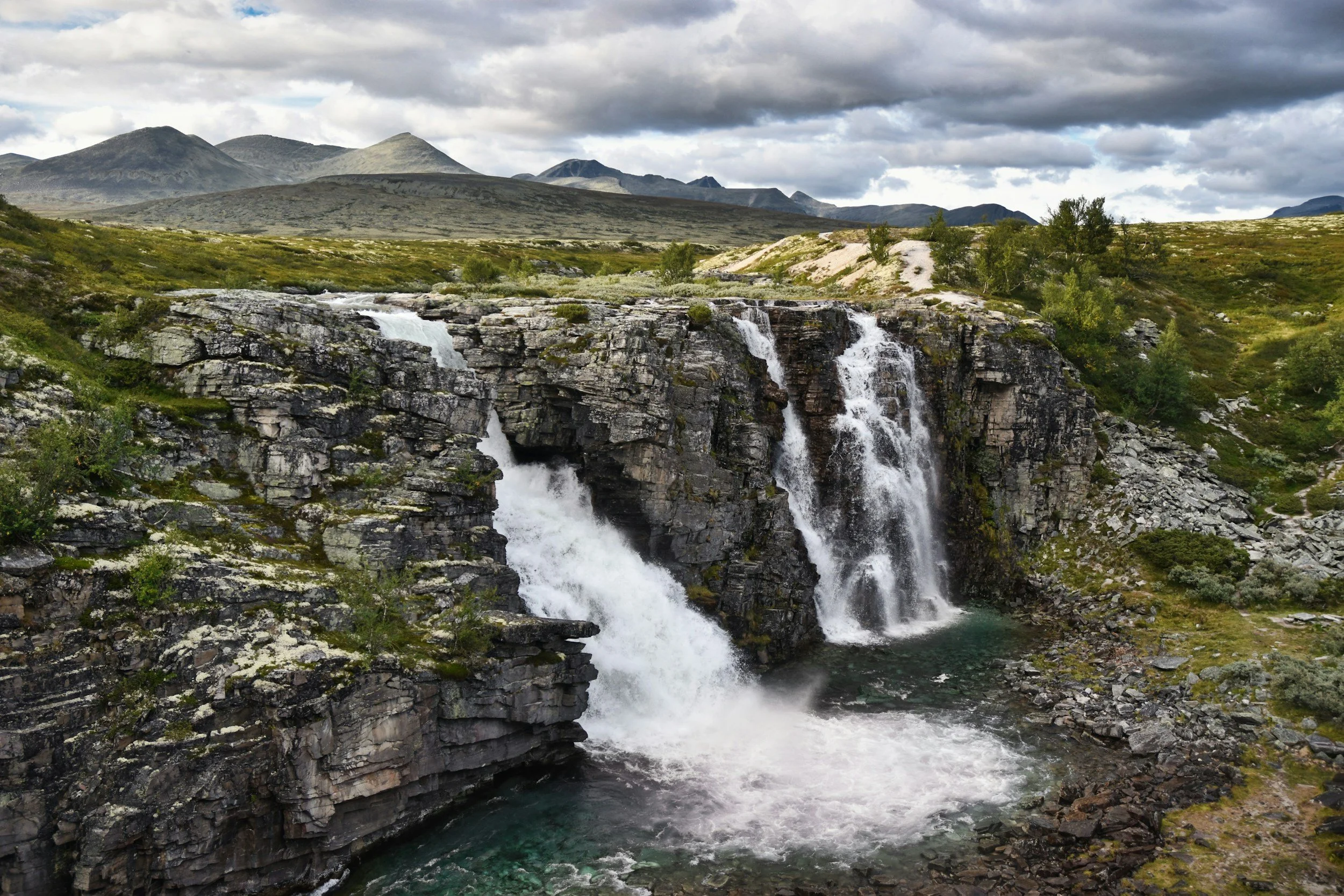
Rondvassbu is a good destination in its own right, so there is no need to turn today into another summit day. Have lunch at the lodge, spend some time beside Rondvatnet and choose one of the shorter walks in the surrounding area before returning to Spranget. In summer, a small boat also operates across Rondvatnet on scheduled departures, offering another way to experience the landscape and reach the northern end of the lake without a long hike.
For experienced hikers with fresh legs, Rondvassbu is also the starting point for several longer routes into the national park and towards Rondane's 2,000-metre peaks. After Besseggen and Galdhøpiggen, however, I would resist the temptation to add another major summit simply because it is available. One of the pleasures of Rondane is that you do not need to be standing on top of a mountain to appreciate it.
Take your time on the journey back towards Spranget and return to Mysusæter for the evening. Rondane rewards a slower pace: the broad valleys, muted colours and sense of space are a large part of what distinguishes it from the mountains you have already experienced in Jotunheimen.
Day 9: Driving the Norwegian Scenic Route Rondane
The Mountains From the Other Side
Today, experience Rondane from a completely different perspective on Norwegian Scenic Route Rondane. The 75-kilometre scenic route follows Fv27 between Venabygdsfjellet and Folldal, with an additional section along Fv219 between Enden and Sollia Church. Unlike the high road across Valdresflye, this route is normally open throughout the year, although mountain weather can still affect driving conditions.
From the Mysusæter area, make your way south to join the scenic route and then follow it around the southern and eastern side of Rondane. The landscape here is different from the approach to Rondvassbu. Instead of travelling directly into the national park, you see the Rondane massif from a distance, rising beyond forests, old farming areas, open mountain plateaus and the long waters of Atnsjøen.
Give yourself most of the day rather than focusing on the relatively short distance. There are several places to stop along the route, and much of its appeal comes from watching the mountains change as you move around them. The road passes through a landscape that has inspired artists and travellers for generations, but it is still remarkably quiet compared with many of Norway's better-known scenic drives.
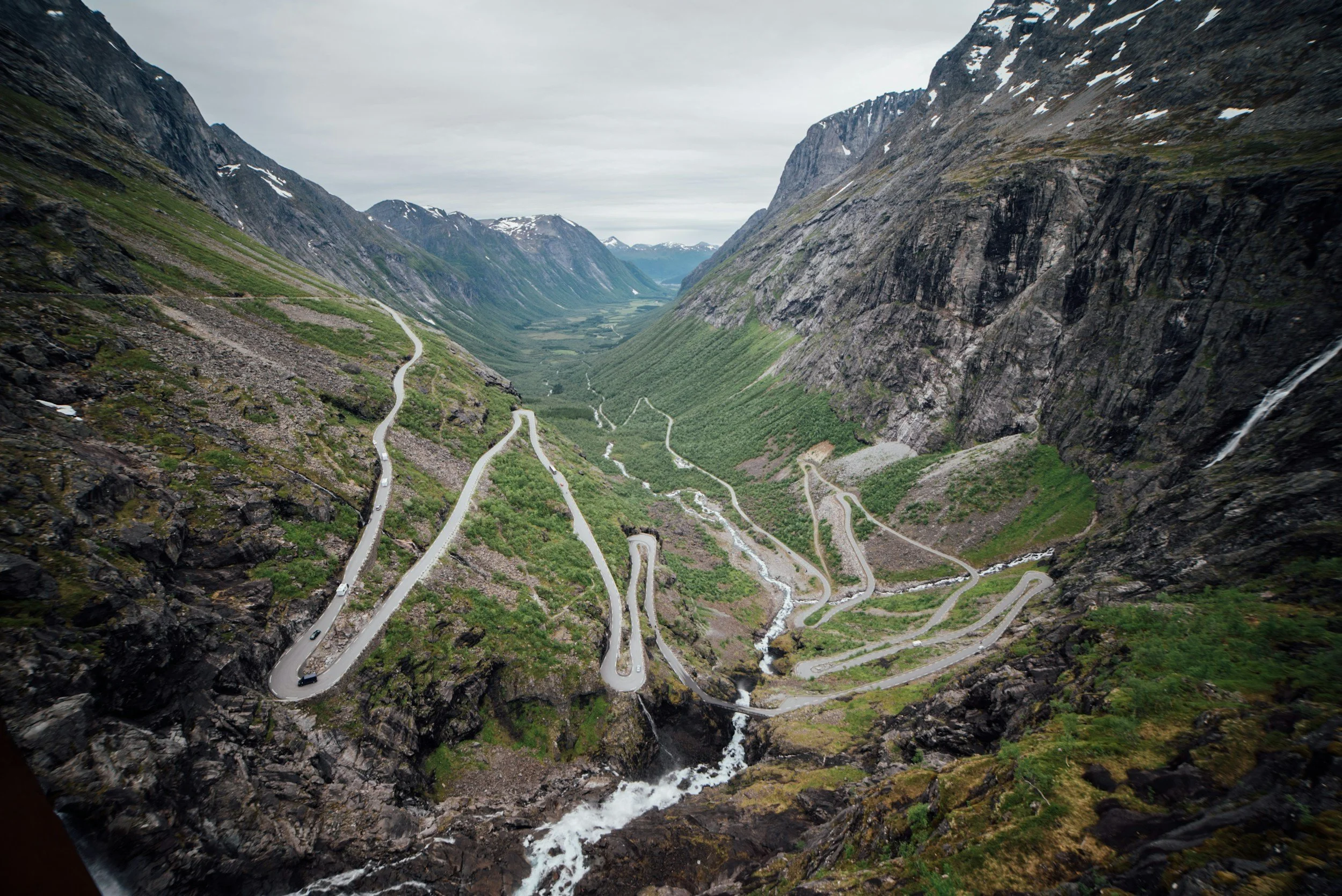
Stop at Sohlbergplassen
The most important stop is Sohlbergplassen, a viewpoint set among the pine trees above Atnsjøen. From the platform, the lake stretches out below while the rounded peaks of Rondane form an almost continuous wall of mountains on the horizon. The viewpoint itself was designed by architect Carl-Viggo Hølmebakk, with a curving concrete platform that winds carefully between the existing trees rather than clearing them from the site.
There is also an important connection between this particular view and Norwegian art. Painter Harald Sohlberg travelled to Rondane at the end of the 19th century and spent time searching for the perspective that would eventually inspire Winter Night in the Mountains, often known in English as Winter's Night in Rondane. The painting became one of the best-known works in Norwegian art, and Sohlbergplassen was positioned to recreate approximately the same view towards the mountains that inspired him.
Continue along the scenic route after Sohlbergplassen rather than treating the viewpoint as the end of the day's drive. Around Atnsjøen and Sollia, the landscape alternates between forest, open farmland and views towards Rondane, giving you a very different impression of the national park from the one you experienced on foot yesterday.
Spend the night around Atnsjøen, Sollia or farther south along the scenic route, depending on the accommodation you choose and how far you want to drive. This keeps the day relaxed while gradually taking you south and placing you in a good position for the return journey to Oslo.
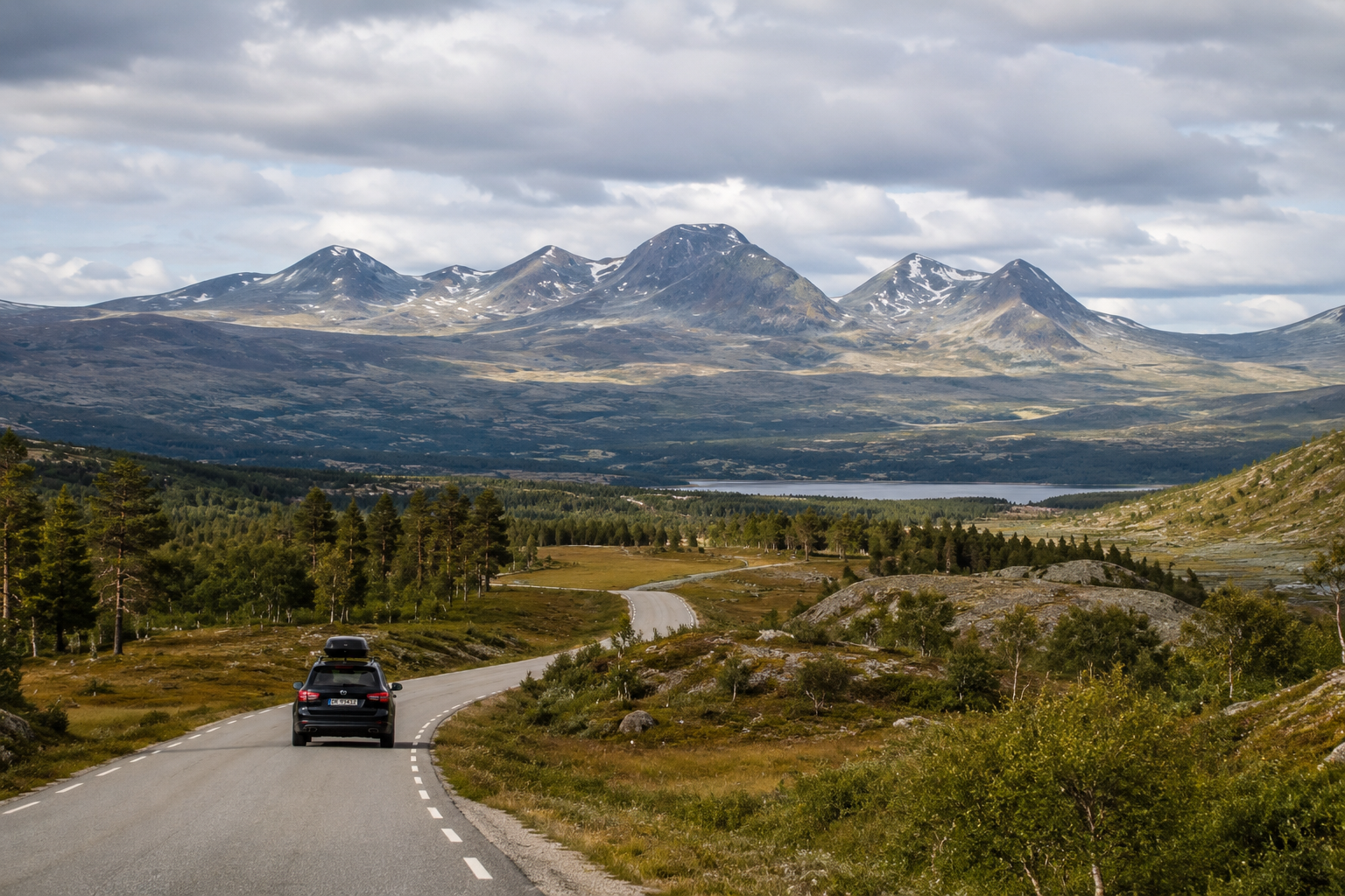
Day 10: Rondane to Oslo
One Last Morning in the Mountains
Keep the final morning unhurried. Have breakfast, take a short walk if the weather is good and enjoy one last view of Rondane before beginning the journey south towards Oslo. Depending on where you stayed along the scenic route the previous night, allow roughly three and a half to four and a half hours for the drive back to the capital, before stops.
As you travel south, the transition out of Mountain Norway happens gradually. The open plateaus and sparse mountain vegetation give way to thicker forests, farms and increasingly frequent settlements. After more than a week spent among high valleys, mountain lakes and roads above the tree line, returning to the lower landscapes of eastern Norway makes the scale of the journey much easier to appreciate.
There is no need to turn the return drive into another full sightseeing day. Stop when you want coffee or lunch, stretch your legs along the way and leave enough time to reach Oslo comfortably. If you are returning a rental car or catching a flight later that day, give yourself plenty of additional time rather than planning around the fastest possible driving time.
Over ten days, this route has taken you through three distinctly different parts of Mountain Norway. Valdres introduced a landscape shaped by farms, summer pastures and centuries of rural tradition. Jotunheimen brought you into Norway's highest mountains, among glaciers, steep ridges and some of the country's most famous hikes. Rondane offered something different again: broader valleys, quieter mountain terrain and one of Norway's most important wild reindeer landscapes.
That variety is what makes this road trip worth taking. Mountain Norway is not one landscape repeated for ten days, but a succession of places with their own geography, history and character. By the time Oslo comes back into view, you have crossed only a relatively small part of Norway, yet experienced just how different the country's mountains can be.
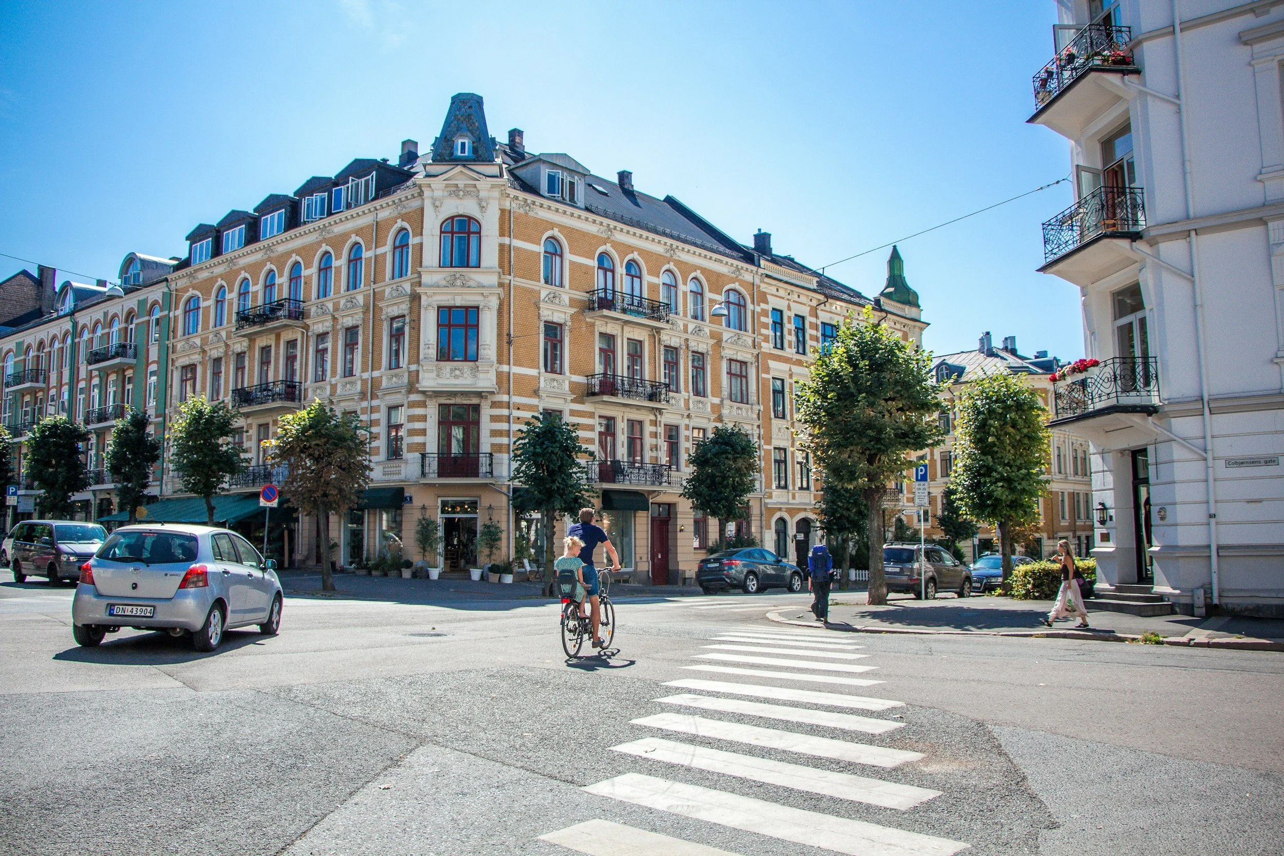
What to Pack for Mountain Norway
Pack for the mountains, not for the weather forecast you saw in Oslo. Even in midsummer, conditions at altitude can become cold very quickly, and a warm day in the valleys can look very different once you are above the tree line. Weather can also change rapidly, so you should be prepared for sun, wind, rain and low temperatures during the same day.
At minimum, bring:
waterproof outer layers
a warm mid-layer
proper hiking footwear
comfortable hiking trousers
hat and gloves for high mountain days
sunglasses
sunscreen
refillable water bottle
small backpack
offline map or proper hiking map
food and extra layers for longer hikes
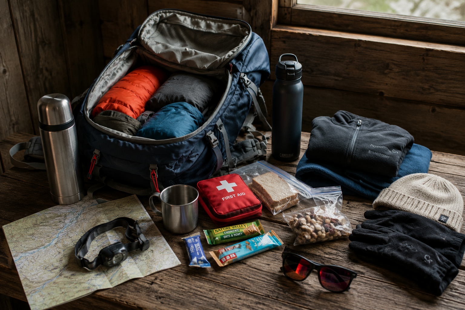
For major hikes such as Besseggen and Galdhøpiggen, you will need more than the basics listed above. My complete hiking packing guide for Norway covers what to wear, what to carry in your backpack and the equipment I recommend for day hikes in the Norwegian mountains.
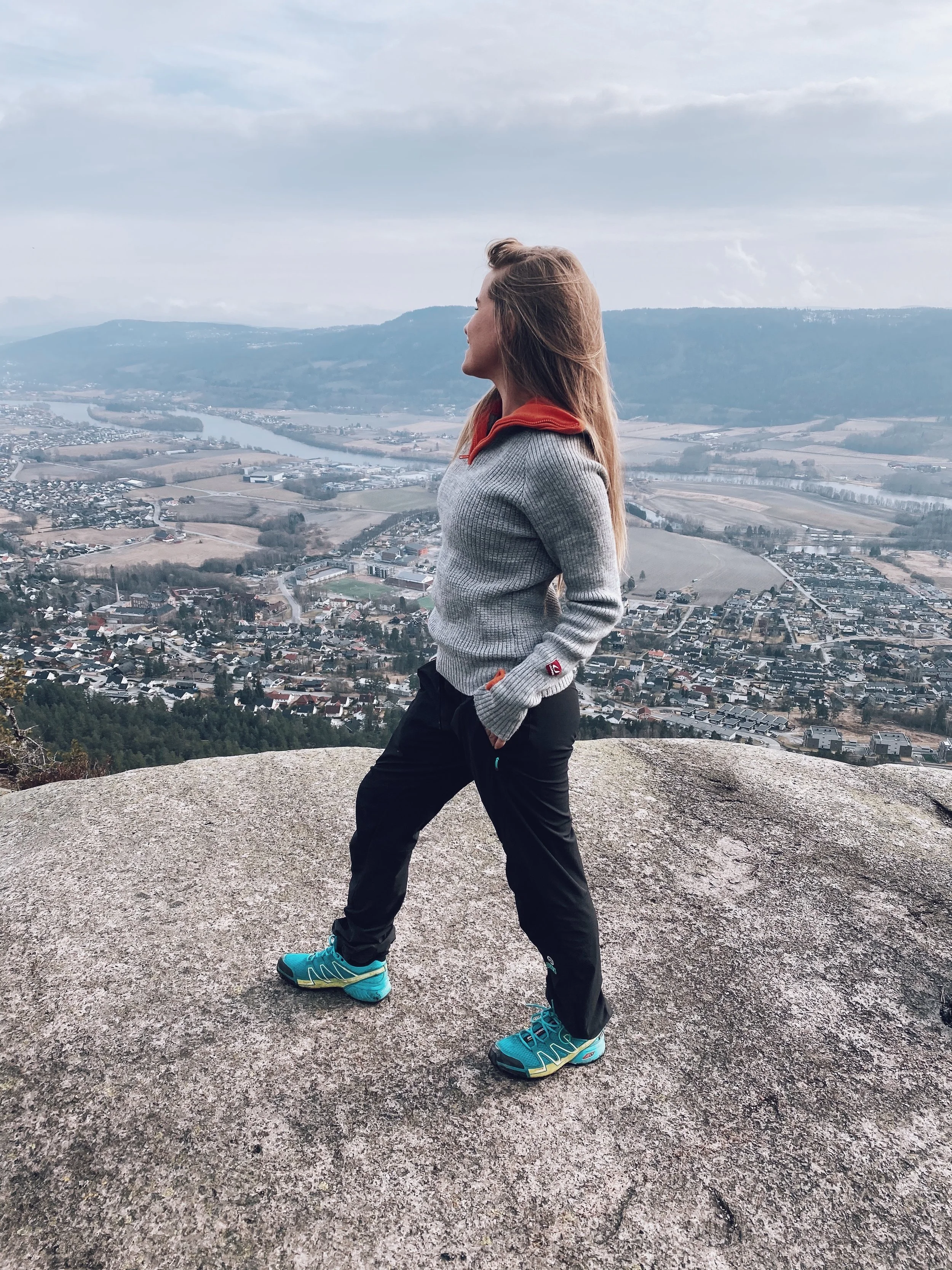
If Mountain Norway is only one part of a longer trip, my Norway summer packing guide covers what to pack for Norway more generally, including clothing for changing weather, everyday sightseeing and the practical items that are useful throughout a summer trip.
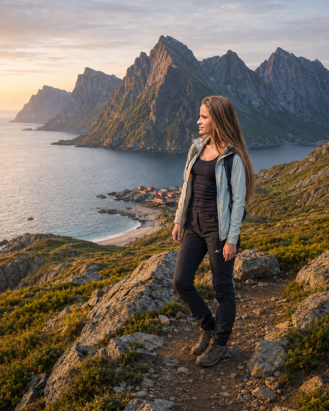
The Norwegian Mountain Code, known as Fjellvettreglene, is also worth familiarising yourself with before setting out. Its principles include planning according to your ability, checking the weather and conditions, carrying the equipment you need and being willing to turn around when necessary. A fixed itinerary should never take priority over conditions in the mountains.
Do You Need a 4x4 for This Norway Road Trip?
No. A normal rental car is sufficient for this road trip, and there is no need to hire a large SUV simply because you are travelling through the mountains. Valdresflye and Norwegian Scenic Route Rondane are ordinary public roads suitable for passenger cars.
Driving in Mountain Norway can, however, feel very different from driving around Oslo. Roads can be narrow and winding, livestock may be close to or on the road, and distances can take longer than they appear on a map. Give yourself plenty of time and avoid planning days around the fastest estimated driving time.
There is one additional consideration if you choose the Juvasshytta route to Galdhøpiggen. Galdhøpiggvegen is a private toll road that climbs steeply to approximately 1,840 metres above sea level. The road is paved and normally accessible to ordinary passenger cars during the Juvasshytta season, but mountain conditions can change quickly, so check that it is open before driving up.
You also cannot drive all the way to Rondvassbu in Rondane. Cars are left at Spranget, with the final six kilometres to Rondvassbu completed on foot or by bicycle.
If you are renting a car for the trip, my guide to driving in Norway covers Norwegian road rules, mountain driving and other practical details to know before setting out.
Mountain Norway vs Fjord Norway
For visitors from abroad, Norway's mountains are often associated with the dramatic landscapes surrounding the western fjords. In Fjord Norway, steep mountains rise directly from deep stretches of water, waterfalls tumble down the valley walls and many of the best-known journeys follow the coastline and fjord systems around places such as Geiranger, Sognefjord and Hardanger.
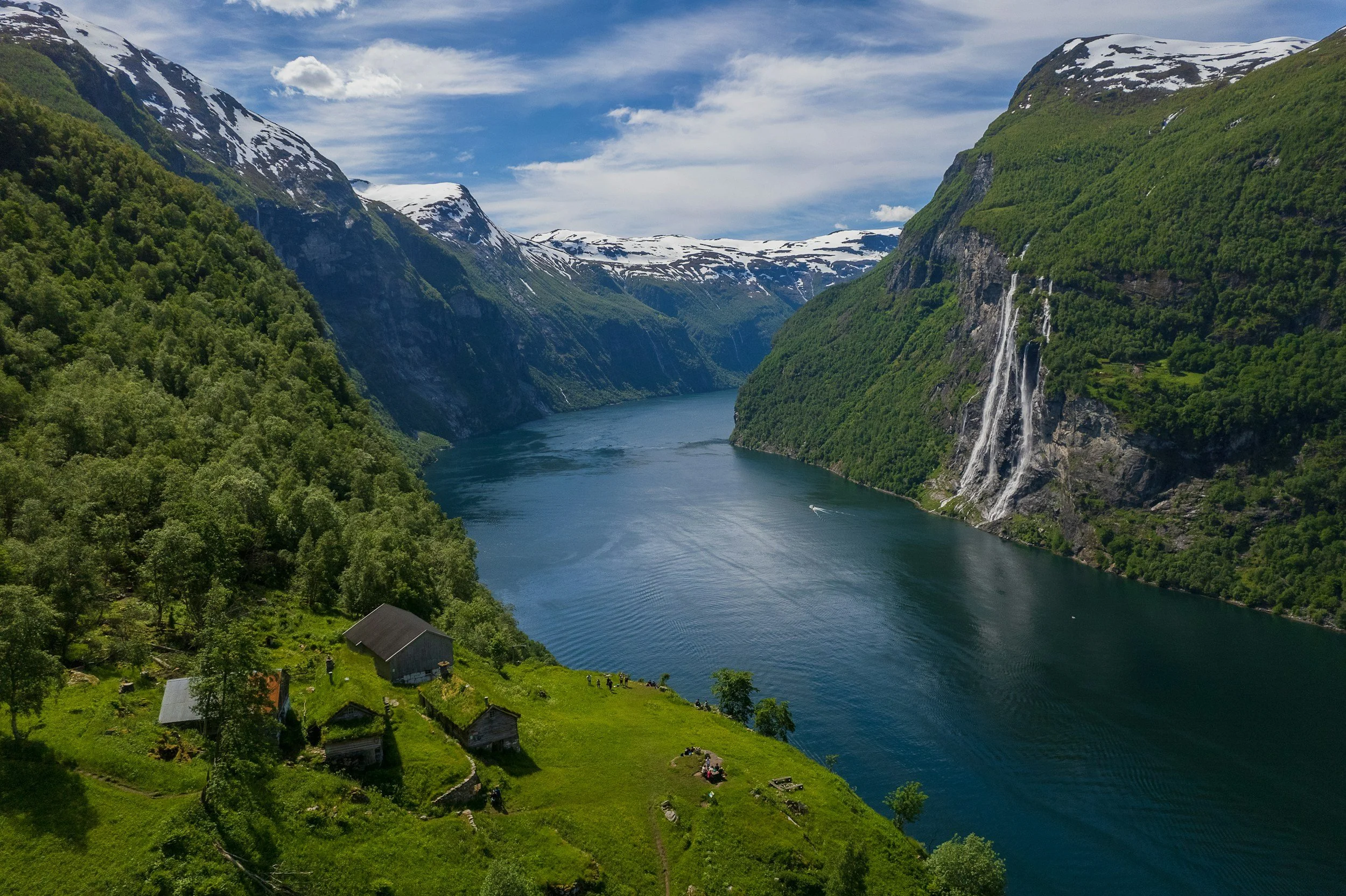
Travel inland and the landscape changes. Mountain Norway feels broader and more open, with high plateaus, wide valleys, inland lakes and roads that climb above the tree line for long stretches. Instead of villages squeezed between mountains and water, you find summer farms, mountain lodges and enormous areas where settlements become increasingly sparse.
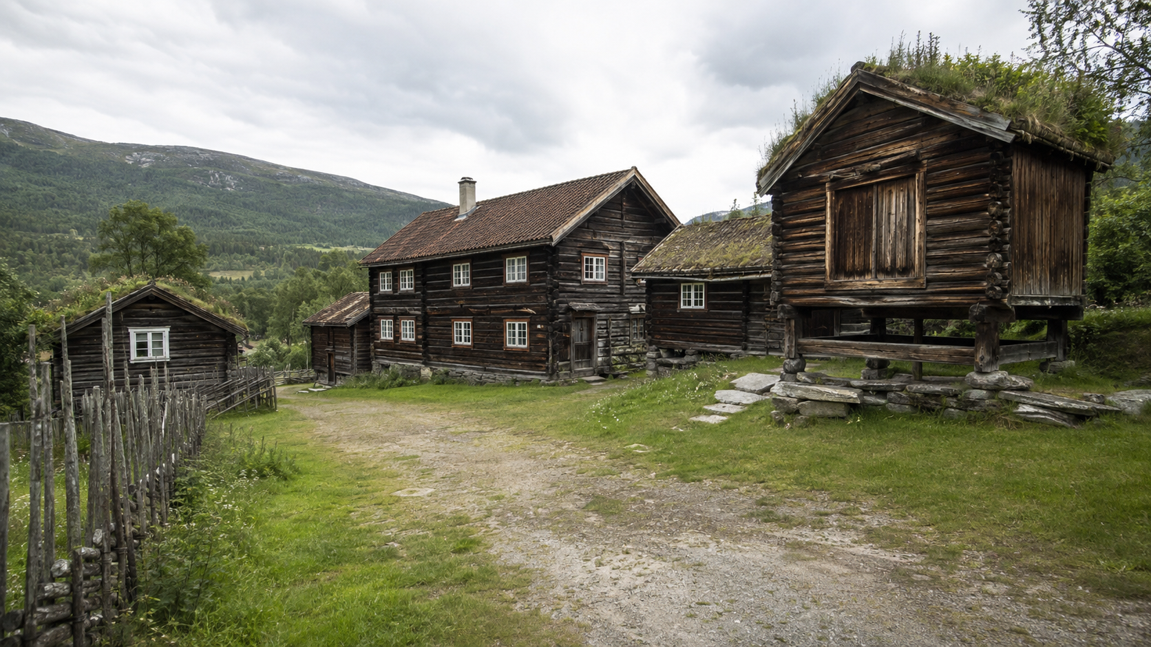
The cultural landscape is different too. In Valdres, centuries of farming and summer grazing have shaped the relationship between people and the mountains. Jotunheimen brings you into Norway's highest and most dramatic mountain terrain, where glaciers, alpine lakes and peaks above 2,000 metres dominate the landscape. Rondane feels quieter and more spacious again, with broad valleys, dry mountain terrain and important habitat for wild reindeer.
You do not need to choose one as the more authentic version of Norway. Fjord Norway and Mountain Norway simply reveal different sides of the country, and if you have already travelled through the famous western fjords, heading inland can make a second Norwegian road trip feel surprisingly different from the first.
Only Have Seven Days in Mountain Norway?
You can adapt this road trip to seven days, but I would not recommend trying to compress the entire ten-day itinerary into a single week. The distances themselves are manageable; the problem is that Besseggen and Galdhøpiggen are full mountain days, while Valdres, Jotunheimen and Rondane all deserve enough time to be experienced rather than simply driven through.
The easiest seven-day version is to concentrate on Valdres and Jotunheimen:
Day 1: Oslo → Valdres
Day 2: Explore Valdres
Day 3: Valdres → Beitostølen → Valdresflye → Gjende
Day 4: Besseggen or a slower Jotunheimen day
Day 5: Gjende → Lom → western Jotunheimen
Day 6: Galdhøpiggen
Day 7: Return to Oslo
This means leaving Rondane for another trip, but it preserves the pace and experiences that make the first part of the itinerary work. You still have time for Valdres' cultural landscape, the drive across Valdresflye, a full day around Gjende, Lom and Galdhøpiggen without reducing each place to a brief stop.
If Rondane is particularly important to you, another option is to keep all three regions but choose either Besseggen or Galdhøpiggen rather than attempting both. I would much rather remove one major hike than turn every day into a race between destinations. Mountain Norway is at its best when there is enough time to stop along the road, change plans because of the weather and occasionally do very little at all.
Have More Than Ten Days?
If you have more than ten days, I would use the extra time to go deeper rather than immediately adding more destinations. This route already covers three distinct mountain regions, and each of them can easily justify another day or two.
In Valdres, an additional night gives you more time to explore the summer-farm landscape, visit another stave church or spend longer in the smaller villages and valleys away from the main road. In Jotunheimen, an extra day is particularly valuable because it creates some flexibility around Besseggen and Galdhøpiggen. Mountain weather does not always cooperate with a carefully planned itinerary, and having a spare day means you can move a major hike rather than attempting it in poor conditions. You could also use the extra time for a shorter hike, a boat journey on Gjende or simply another night at a mountain lodge.
Rondane is equally easy to extend. Stay another night around the national park, explore a different trail or spend more time along the scenic route and around Atnsjøen. The slower character of Rondane makes it particularly well suited to travellers who want a few quieter days towards the end of the road trip.
If you have twelve or fourteen days, I would still resist the temptation to keep adding places simply because there is room on the map. There will always be another valley, another mountain and another scenic road in Norway. More time does not necessarily need to mean more destinations.
Final Words
Mountain Norway is not necessarily the Norway that first appears when you begin planning a trip. The fjords and coastal landscapes tend to receive most of the international attention, but travel inland and you discover a different side of the country, shaped by high plateaus, mountain valleys, farming traditions and some of Northern Europe's highest peaks.
Over these ten days, the landscape changes considerably. Valdres introduces you to a part of Norway where people have lived closely with the mountains for centuries, moving livestock to summer farms, building communities along the valleys and leaving behind an extraordinary collection of medieval stave churches. In Jotunheimen, the scale changes completely as roads climb above the tree line and trails lead between glacial lakes, steep ridges and the highest mountains in the country. Then Rondane slows everything down again, with broader valleys, quieter trails and vast areas of mountain wilderness that remain important habitat for wild reindeer.
What I like most about this route is that the mountains never feel like a backdrop. You drive across them, walk through them and see how they have influenced the communities and traditions that developed around them. Even the journeys between the major stops become part of the experience, whether you are crossing Valdresflye above the tree line or following the quieter roads around Rondane.
Ten days is enough time to experience those differences without reducing the journey to a checklist of famous places. You will climb mountains if you want to, but you will also visit old farms and churches, stop in small mountain villages, travel along some of Norway's most beautiful roads and have days when simply being in the landscape is enough.
That, more than any single summit or viewpoint, is what makes this road trip special. You do not simply spend ten days looking at the Norwegian mountains. You begin to understand the different landscapes, traditions and ways of life that have grown around them.
More articles about Norway
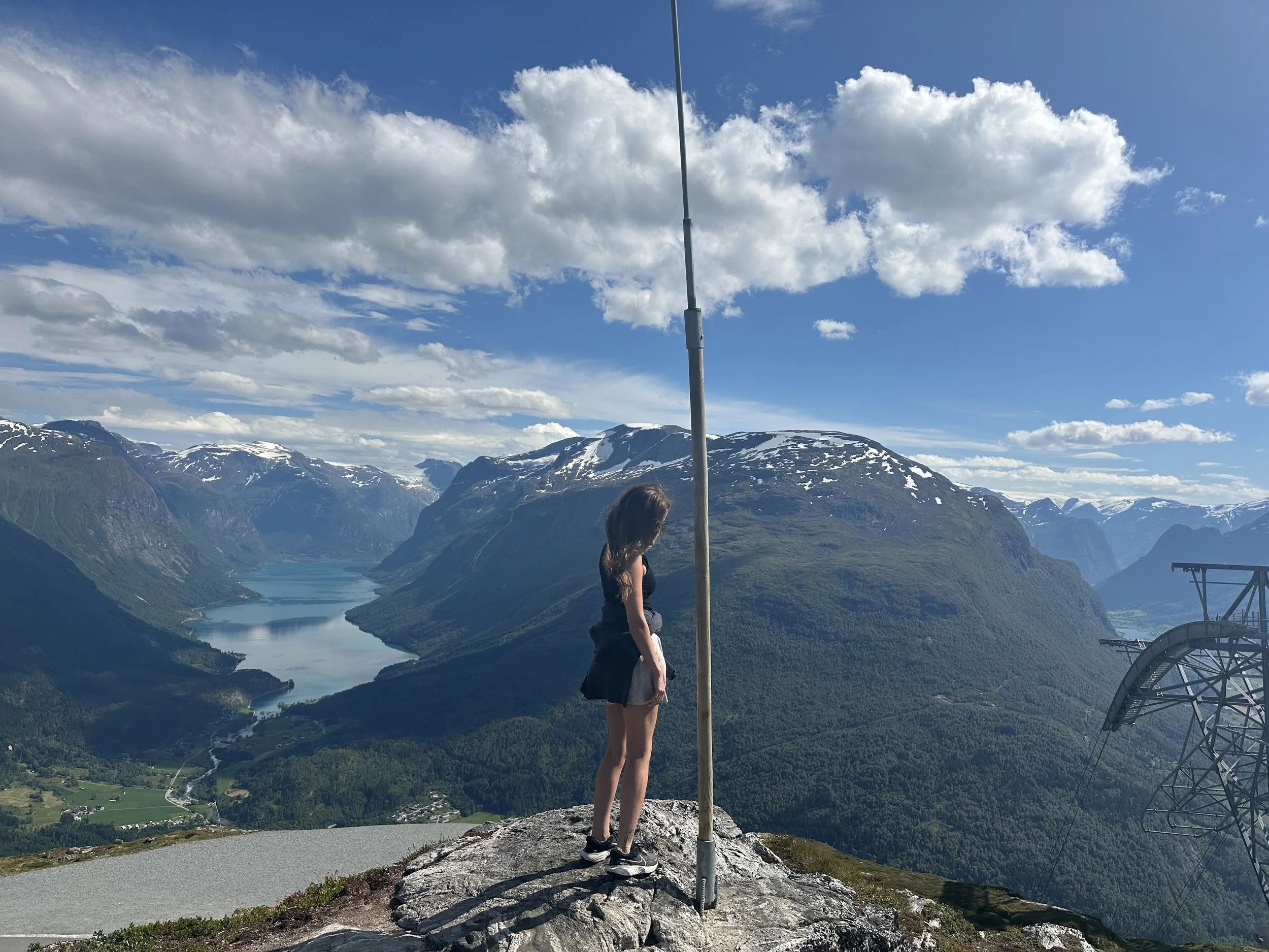

Norway's mountains are central to the country's culture and outdoor traditions. Discover Jotunheimen, Rondane, Valdres, hiking, wildlife and why so many Norwegians head to the mountains year-round.