The Different Fjord Regions of Norway
Norway’s fjords are often spoken about as though they are one single landscape, but in reality, the country’s fjord regions vary enormously in geography, atmosphere and character. Some fjords are narrow and dramatic beneath steep mountain walls, while others are broader, softer and more connected to farmland, islands and coastal culture. Understanding those regional differences helps create a far more realistic picture of Norway beyond the standard postcard imagery.
What Actually Defines a Fjord?
A fjord is a deep glacial valley flooded by seawater after the retreat of the Ice Age glaciers.
Over thousands of years, enormous glaciers carved through mountain landscapes, creating steep valleys that later filled with seawater as the ice melted and sea levels rose. That process created the long, deep and often narrow waterways now associated with Norway.
However, fjords across Norway were shaped differently depending on:
glaciation
mountain geography
exposure to the sea
climate
surrounding topography
That is why fjord landscapes in Norway can feel surprisingly different from one another.
Some fjords feel enclosed and dramatic, while others are broader, greener and more connected to agricultural landscapes or coastal life.

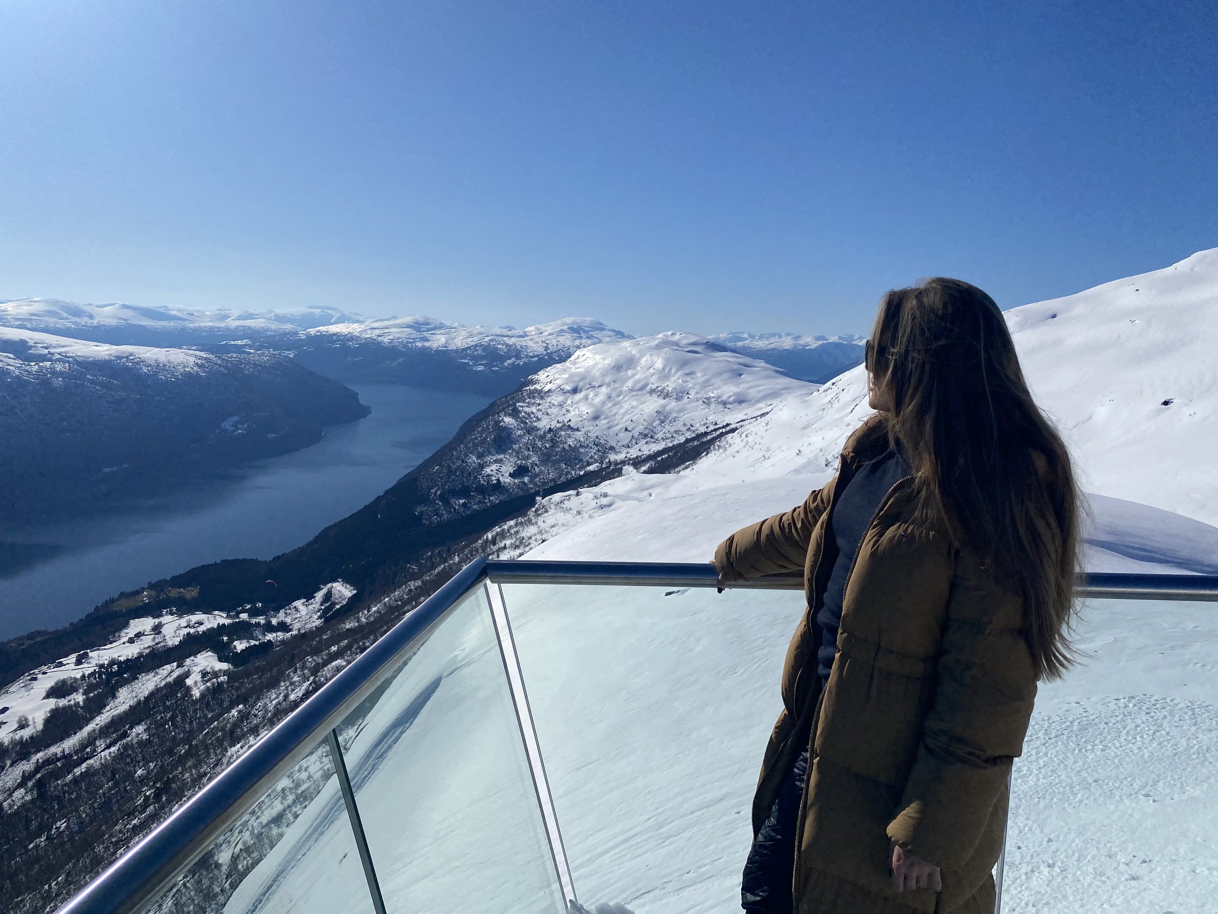
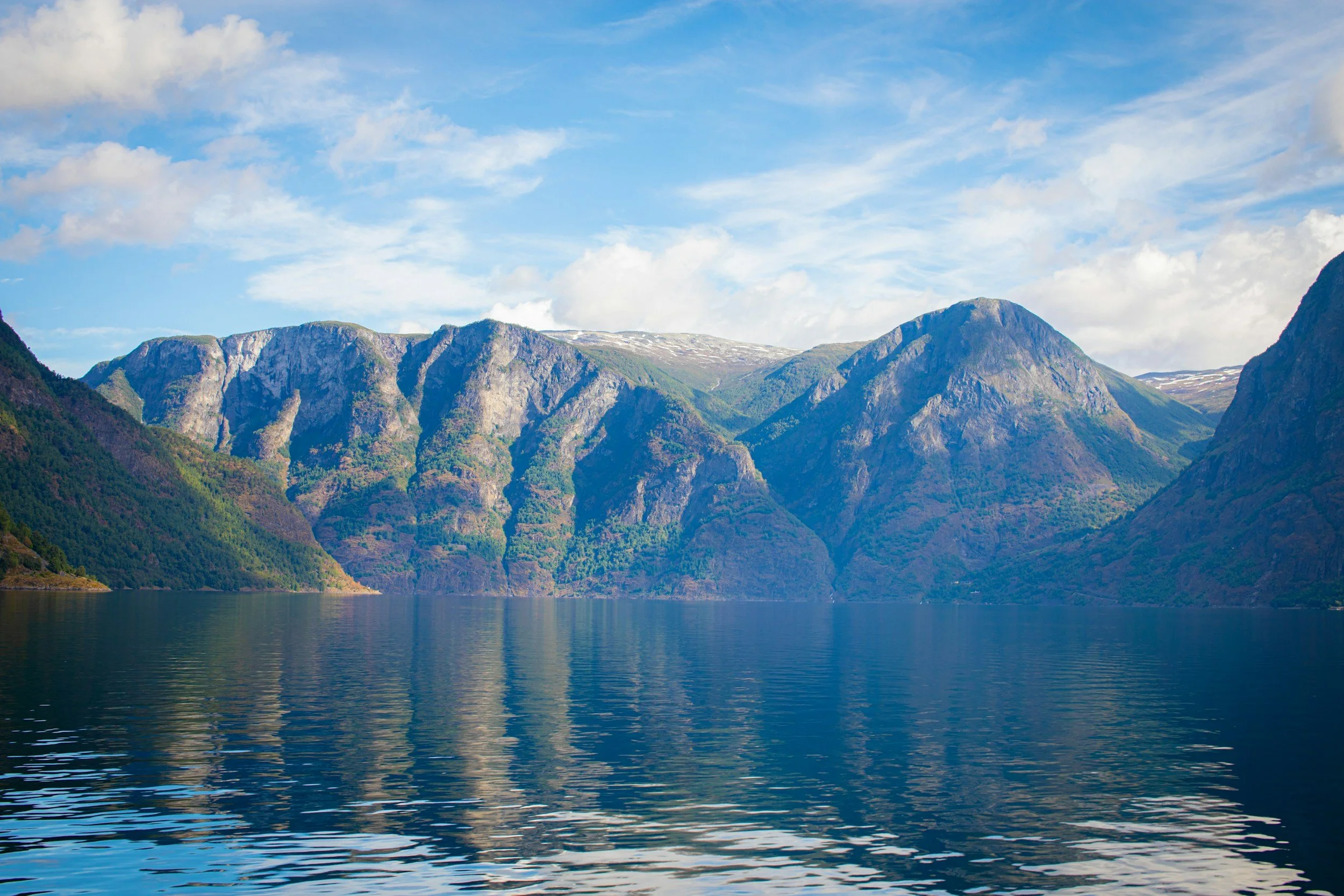
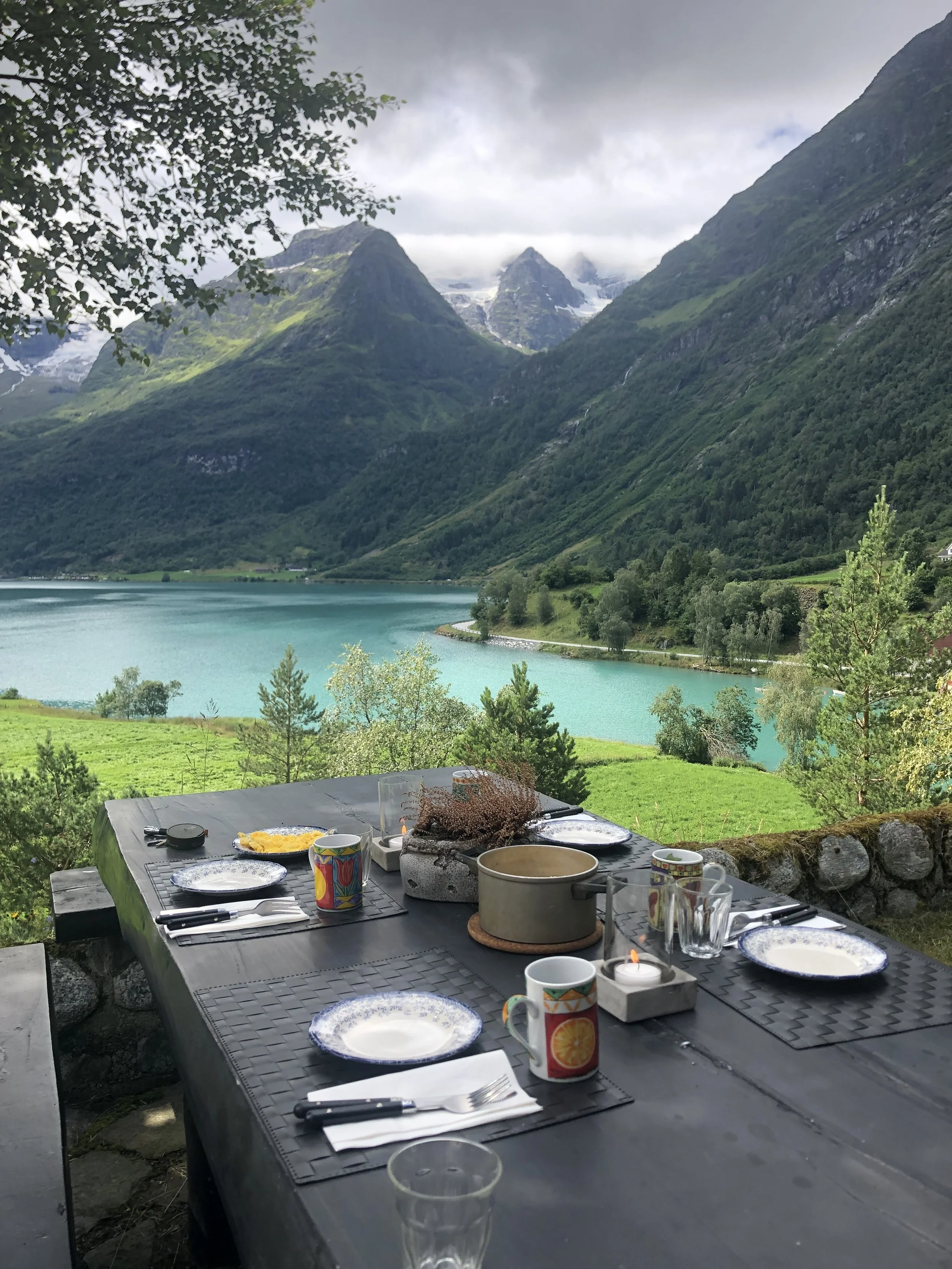
The Nærøyfjord and Aurlandsfjord Region
Located in Western Norway between Oslo and Bergen, the Nærøyfjord and Aurlandsfjord region is one of the country’s most visited fjord areas and often forms many travellers’ first encounter with fjord Norway.
This is the landscape many people imagine when they picture Norwegian fjords:
narrow waterways
steep mountain walls
small villages beside the water
ferries moving through dramatic scenery
The area includes places such as:
Flåm
Gudvangen
Aurland
Undredal
Nærøyfjord itself is one of the narrowest fjords in Europe and is part of the UNESCO-listed West Norwegian Fjords landscape.
Because the region is relatively accessible by train from both Oslo and Bergen, it has become strongly connected to the famous Norway in a Nutshell route. That accessibility makes it one of the easiest fjord regions to experience without a car, but it also means the area can feel busy during summer.
The landscape here often feels compressed and vertical, with mountains rising sharply from the water and weather systems moving quickly through the fjord valleys.
Relevant reading:
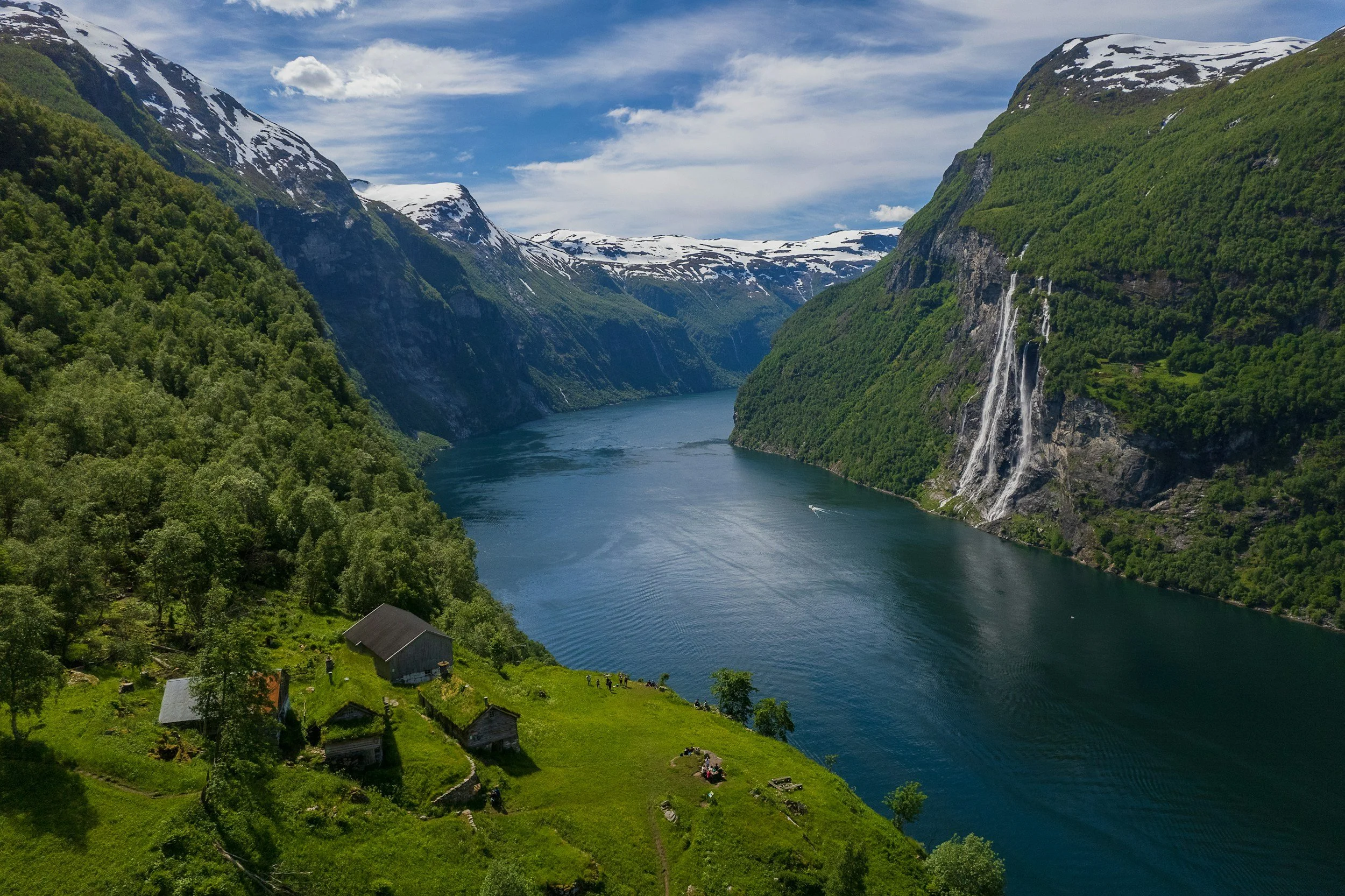
Geirangerfjord and Sunnmøre
Further north in Western Norway lies the Geirangerfjord, probably Norway’s most internationally recognisable fjord landscape.
The fjord cuts through steep mountains with an almost theatrical sense of scale. Waterfalls descend directly into the fjord, mountain roads cling to cliff edges, and viewpoints such as Ørnesvingen and Dalsnibba overlook some of the country’s most photographed scenery.
The wider Sunnmøre region surrounding Geiranger also includes:
Ålesund
Hjørundfjord
Norangsdalen
alpine mountain landscapes near Stranda and Ørsta
Compared to some other fjord regions, the mountains here often feel steeper and more jagged, creating a stronger sense of drama and verticality.
Geirangerfjord is one of the most popular fjord destinations in Norway, particularly among cruise visitors during summer. As a result, the small village of Geiranger can feel heavily shaped by tourism during peak season.
At the same time, moving slightly beyond the main cruise routes into Sunnmøre reveals a much broader region of fjords, mountains and coastal landscapes that often feels quieter and wilder.
Related coastal travel:
Hardangerfjord
Hardangerfjord lies south of Bergen and is one of Norway’s longest fjords.
The atmosphere here differs noticeably from places like Geirangerfjord. Rather than extremely steep enclosed landscapes, Hardanger often feels broader, greener and more inhabited.
The region is strongly associated with:
orchards
farms
waterfalls
the Hardangervidda plateau
blossom season during spring
Places such as:
Odda
Lofthus
Ulvik
Eidfjord
sit between fjords, mountains and agricultural landscapes shaped by the relatively mild microclimate created by the fjord itself.
During spring, fruit trees blossom beneath snow-covered mountains, creating one of the most distinctive seasonal landscapes in Norway.
Hardanger also acts as an important transition zone between fjord landscapes and the mountain plateau of Hardangervidda, which gives the region a varied geography within relatively short distances.
Compared to Geirangerfjord, Hardanger often feels softer and more lived-in rather than purely dramatic.
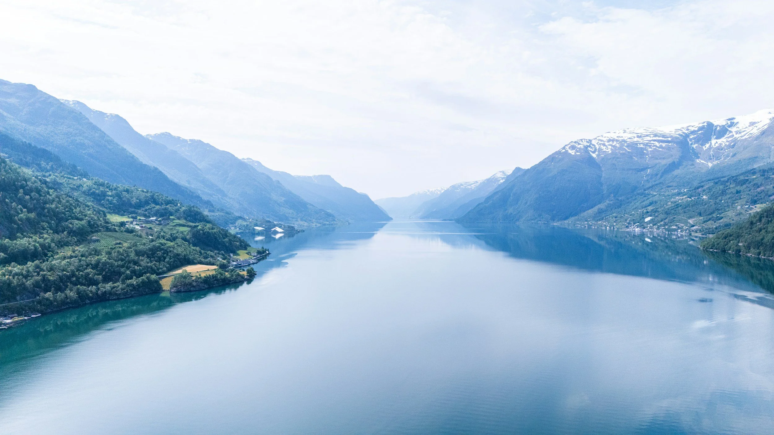
Nordfjord
Nordfjord sits between the Geiranger region and Sognefjord and is often considered one of the most varied fjord regions in Norway.
The area around:
Olden
Loen
Stryn
Lodalen
combines fjords, glaciers, steep valleys, alpine mountains and glacier-fed lakes within a relatively compact area.
This is one of the regions where the influence of ice still feels especially visible in the landscape. Arms of Jostedalsbreen, mainland Europe’s largest glacier, descend into nearby valleys, while rivers carry glacier meltwater through bright turquoise lakes and narrow valleys.
Places such as Loen and Olden have become increasingly well-known internationally because of:
Loen Skylift
Briksdalsbreen glacier
dramatic scenery surrounding Nordfjord itself
Despite growing tourism, many parts of Nordfjord still feel calmer than Geirangerfjord during summer.
The landscapes here often feel broader and slightly less compressed than Geiranger, while still retaining a strong sense of scale and dramatic mountain scenery.
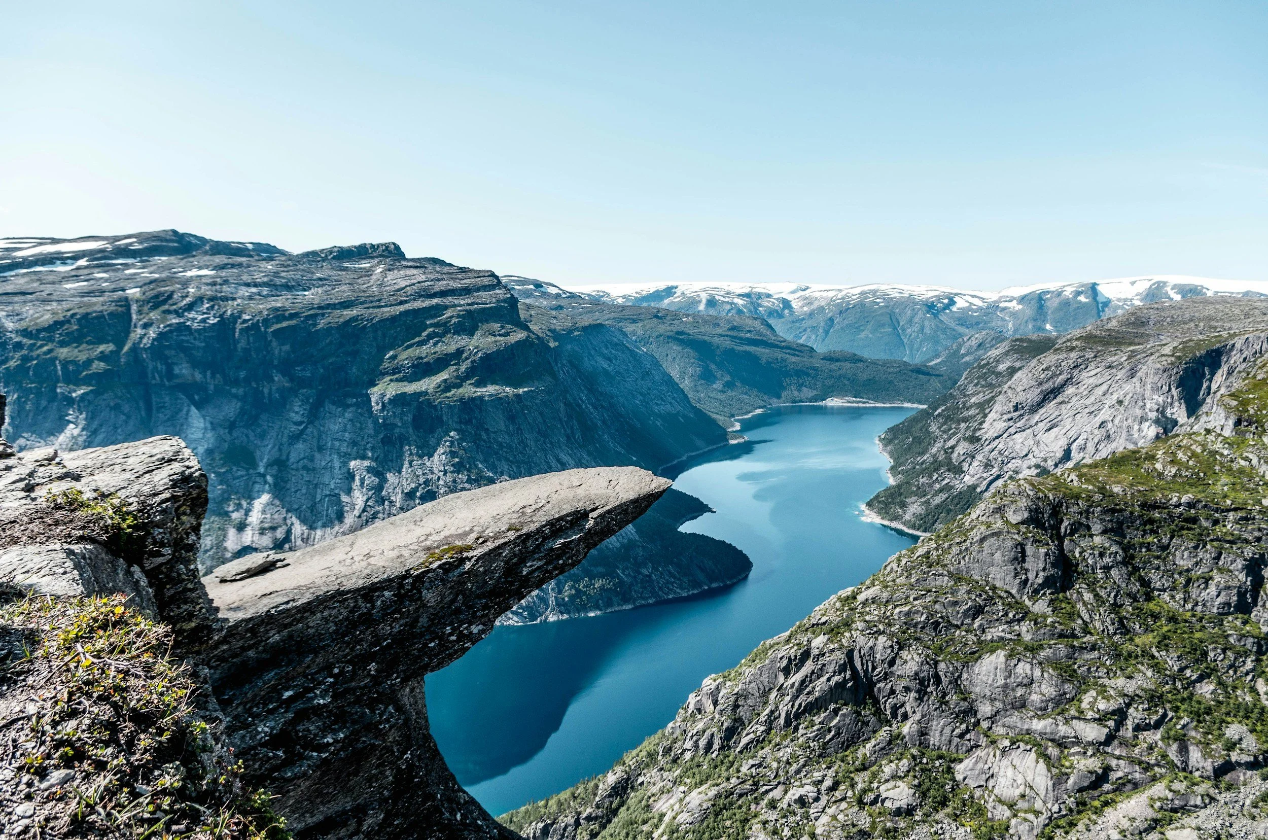
Lysefjord and Southwestern Norway
Lysefjord lies in Southwestern Norway near Stavanger and is best known internationally for Preikestolen (Pulpit Rock) and Kjerag.
The fjord itself cuts through steep rock formations and dramatic cliff landscapes, but the surrounding region feels somewhat different from the larger fjord systems further north.
This part of Norway is more closely connected to:
exposed coastline
maritime weather
heathland
lower mountain plateaus
The Lysefjord region works particularly well for shorter trips because Stavanger provides relatively easy access to fjord landscapes without requiring extensive travel through rural Western Norway.
Compared to fjord regions such as Hardanger or Nordfjord, Lysefjord often feels more excursion-based and outdoor-oriented rather than expansive or immersive over long distances.
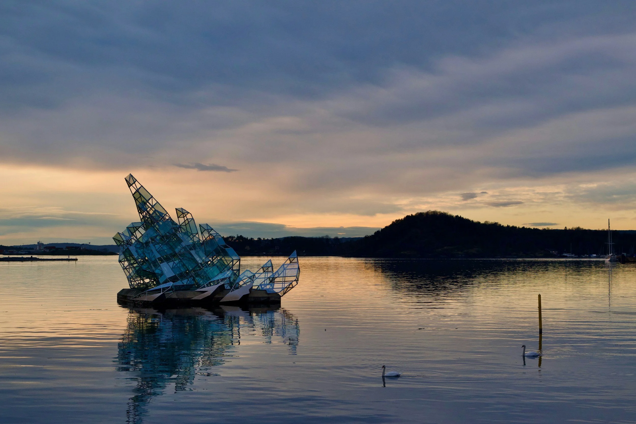
Oslofjord
Oslofjord surprises many international visitors because it does not resemble the stereotypical image of Norwegian fjords at all.
The landscape is lower, softer and much more open than the fjords of Western Norway.
Instead of steep mountain walls, the Oslofjord region is shaped by:
islands
forests
beaches
smooth coastal rock
marinas
small coastal towns
The fjord stretches south from Oslo toward areas such as:
Drøbak
Son
Tjøme
Hvaler
and plays a major role in summer life across Eastern Norway.
For many Norwegians, Oslofjord is less associated with sightseeing and more connected to:
swimming
boating
island ferries
cabins
waterfront culture
everyday outdoor life during summer
The atmosphere feels far more coastal and maritime than dramatic.
Understanding Oslofjord helps explain that fjords in Norway are not defined only by towering mountains, but by the long interaction between sea, glaciation and settlement patterns along the coast.
Relevant reading:
The Oslofjord in Summer: Islands, Swimming and Sauna Culture
Where to Stay in Oslo: A Guide to the City’s Different Neighbourhoods
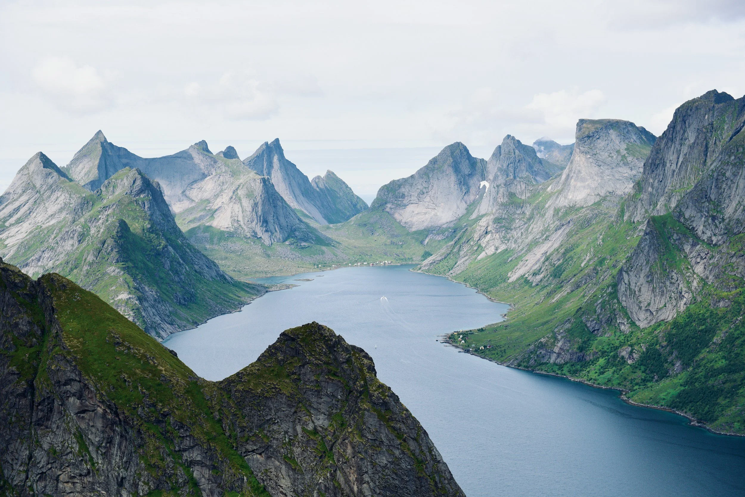
Northern Norway and Arctic Fjords
The fjords of Northern Norway feel markedly different again.
Around areas such as:
Tromsø
Senja
Lofoten
Vesterålen
Trollfjord
fjord landscapes become more exposed to open sea, Arctic weather and seasonal extremes.
The mountains still rise dramatically from the water, but the atmosphere often feels harsher and more weather-driven than in many southern fjord regions.
Fishing villages, open coastlines and rapidly changing Arctic light shape much of the landscape here.
During winter, the combination of snow, low Arctic light and storms from the Norwegian Sea creates landscapes that can feel almost monochromatic at times, while summer brings continuous daylight beneath steep coastal mountains.
Northern fjords are often less associated with traditional fjord tourism and more connected to coastal life, fisheries and Arctic geography.
Related reading:
Final Thoughts
Norway’s fjords are not one single landscape.
They vary enormously in atmosphere, geography and character, from the enclosed dramatic fjords of Western Norway to the softer coastal landscapes of Oslofjord and the weather-driven Arctic fjords of the north.
Understanding those regional differences gives a much deeper sense of Norway itself, because the fjords are not only scenic landscapes. They have shaped settlement, transport, agriculture and everyday life across the country for centuries.